What is recorded here
Situated at the W edge of a low plateau overlooking the valley of a SW-NE stream, c. 120m to the SW. A circular overgrown area (int. dims. c. 27m E-W; 24.1m N-S) defined by a stone spread (at N: Wth 4.5m; int. H 0.4m; ext. H 0.8m), with a drystone wall on the perimeter W-NNE. There are no visible facing stones, and the only gap at NE is not original. The interior is overlain by remnants of drystone field walls, and the outer edge of the perimeter is ovarlain by field spoil E-NW.
Compiled by: Michael Moore
Date of upload: 25 April 2017
The monument record does not grant public access. Check the route and ask the landowner before entering private land.
- What survives
- Recorded monument
Places near here
 IndicatedFairy fort / stone ringfort · 704 yd
 Enclosure in ShanvoghEnclosure · 908 yd
 Bushypark Househouse · 1426 yd
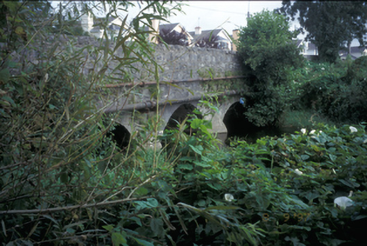 Claureen Bridgebridge · 1.1 mi
 Poul na gollorCave · 1.2 mi
 Post Office FieldNature reserve · 1.6 mi
 Inch Castle (in Ruins)Castle, tower house · 1.6 mi
 Shallee Castle (in Ruins)Castle, tower house · 1.7 mi
 Ennis AbbeyMuseum · 1.8 mi
 Clare MuseumMuseum · 1.8 mi
 Alice and Gwendoline CaveMuseum · 2.2 mi
 Rockmount WoodWood · 2.3 mi