What is recorded here
Indicated is a vanished Mayo fairy fort where a thin earth bank and faint hollow remain on a ridge above the Glore River. Local tradition claims an underground passage hides inside the levelled circle, inviting people to imagine chambers breathing beneath the pasture. The fort resisted mapping and memory, suggesting human hands built a doorway for ideas rather than weapons.
In pasture, located on the level top of a ridge. The Glore River is located 200m to S. Views now restricted by high fences.
A circular, embanked enclosure (diam.c.25m) is shown on the 1838 OS 6-inch map; it is not shown on later map editions.
The rath has been levelled but the faint outline of a semi-circular area can still be traced at ground level, representing the E half the rath (diam. c. 20-25m NE–SW). It is defined NNE–NE by the discrete remnant of an earth and stone bank (Wth c. 2m; H 0.5m; L 4m) and ENE–S by a slightly raised undulation. In the S half of the interior a slight surface hollow may indicate a Man-made underground passage (MA071-176001-), which according to local tradition is located within the rath. A field boundary on a NE-SW axis crosses the rath roughly centrally.
Compiled by: Jane O’Shaughnessy
Date of upload: 24 September 2021
The monument record does not grant public access. Check the route and ask the landowner before entering private land.
- What survives
- Recorded monument
Places near here
 Glore Bridgebridge · 274 yd
 IndicatedFairy fort / earthen ringfort · 492 yd
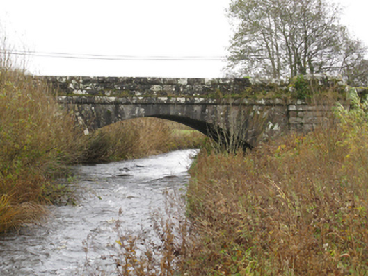 bridgebridge · 536 yd
 CrossCross · 1698 yd
 I'll Send You The FareMemorial · 1.7 mi
 Thorn CaveCave · 1.7 mi
 Kiltimagh MuseumMuseum · 1.7 mi
 Carrowbeg WoodWood · 3.6 mi
 CashlankeeghCastle, unclassified · 3.7 mi
 Castle in ruinsCastle, tower house · 4.6 mi
 Brabazon WoodsForest · 5.0 mi
 Youth Memorial GardenMemorial · 5.1 mi