What is recorded here
Indicated is a circular fairy fort on a Mayo rise, its earthen bank still standing thirty-four metres across while cattle and quarries chew at the edges. The interior holds a dark underground passage and a floor of clean grass, ringed by hawthorn and blackthorn. It is not a polished monument but a living boundary, marked by nettles, stone facing and gaps that may have been doors.
In pasture, located on a rise. Views are good, over undulating terrain, with an expanse of wet land to NE.
Raised circular area (34.2m N–S; 34.4m E–W) defined by intermittent remnants of a bank (Wth 3 at NW, 3.7m at SE; int. H 0.4m at NW, 0.55m at SE; ext. H 1.7m at NW, 1.8 at SE) at N, NE, SE and SW, reduced to a scarp elsewhere. The bank/scarp has been modified at S–N to serve as a field boundary, and is faced with stone in parts. At WNW a section (L 10m) of the scarp is quarried out. There is a slight depression, marked by a dense growth of nettles, outside the bank N–NE, possibly indicating a fosse.
There is a break (Wth 2.5m) in the bank at NNE and a slumped gap (Wth 1.4m) at E, which may be an original entrance, and several narrow breaks have been eroded by cattle.
An opening to Man-made underground passage (MA071-175001-) is evident slightly N of centre in the interior.
The rath is ringed with hawthorn, hazel and blackthorn trees; the interior is level and grassy.
Compiled by: Jane O’Shaughnessy
Date of upload: 24 September 2021
The monument record does not grant public access. Check the route and ask the landowner before entering private land.
- What survives
- Recorded monument
Places near here
 IndicatedFairy fort / earthen ringfort · 405 yd
 Glore Bridgebridge · 537 yd
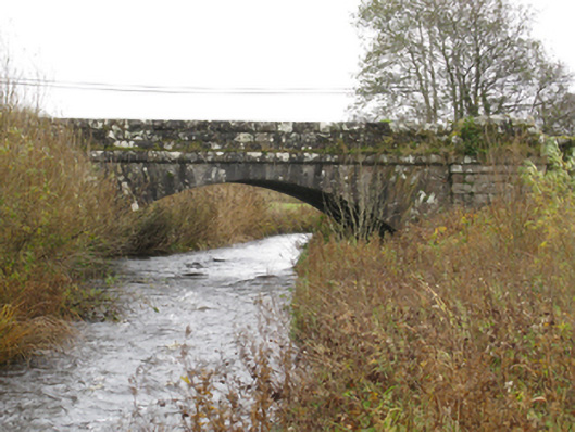 bridgebridge · 904 yd
 CrossCross · 1.2 mi
 Thorn CaveCave · 1.5 mi
 I'll Send You The FareMemorial · 1.9 mi
 Kiltimagh MuseumMuseum · 1.9 mi
 Carrowbeg WoodWood · 3.7 mi
 CashlankeeghCastle, unclassified · 3.8 mi
 Castle in ruinsCastle, tower house · 4.4 mi
 Brabazon WoodsForest · 4.8 mi
 Youth Memorial GardenMemorial · 4.9 mi