What is recorded here
In pasture, on relatively flat terrain. Oval slightly raised area (40.5m N-S; 36.5m E-W) enclosed by earth and stone bank (int. H 0.44m; ext. H 0.97m). Dry-stone field wall defines site WSW->NNW; collapsed wall mostly obscures earth and stone bank N->S. Modern entrance (Wth 3.3m) at SSW flanked by two concrete piers. Cattle gap (Wth 2.4m) at NNW. Field fences abut external face of bank at NNE, SSE and SW. Level interior under pasture.
Compiled by: Denis Power
Date of upload: 26 August 2011
A local fairy fort (ringfort/rath); wider significance not recorded.
The monument record does not grant public access. Check the route and ask the landowner before entering private land.
- What survives
- Recorded monument
Places near here
 Dotted outlineChildren's burial ground · 1021 yd
 Killeen Ch (in ruins)Church · 1033 yd
 CairnCairn, unclassified · 1533 yd
 Curraghchase Forest ParkForest · 1693 yd
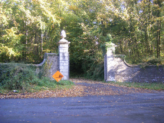 Curragh Chasedemesne walls/gates/railings · 1760 yd
 CastleCastle, tower house · 1.0 mi
 Little HeavenHeritage attraction · 1.1 mi
 European YewEuropean Yew · 1.1 mi
 Derreen Castle (in ruins)Castle, tower house · 2.2 mi
 Flat cemetery in CroaghFlat cemetery · 3.8 mi
 Sweet ChestnutSweet Chestnut · 4.4 mi
 Holly IslandIslet · 4.8 mi