
What is recorded here
On top of a low hill, in a deciduous forest. Roughly circular cairn of stones (H 3.2m; 15m N-S; 16m E-W). The sides are roughly-stepped with the steps decreasing in height from the base upwards. At the top is a flat roughly circular summit (3m N-S; 3.8m E-W). The cairn is best preserved N->E but has suffered a partial collapse along its S arc.
Compiled by: Denis Power
Date of upload: 26 August 2011
A roughly circular cairn, likely of Bronze Age date, characterized by stepped construction and a flat central area, indicating possible ritual or funerary use. Its location on a prominent hill suggests a ceremonial or territorial significance within the local landscape.
The monument record does not grant public access. Check the route and ask the landowner before entering private land.
- What survives
- Recorded monument
Places near here
 Celtic Cross Monument to Robert Stephen De VereMonument · 222 yd
 Little HeavenHeritage attraction · 712 yd
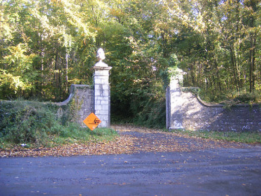 Curragh Chasedemesne walls/gates/railings · 832 yd
 Curraghchase HouseRuins · 888 yd
 Celtic Cross Monument to De Vere FamilyMonument · 1246 yd
 Curraghchase Forest ParkForest · 1302 yd
 European YewEuropean Yew · 1.1 mi
 CastleCastle, tower house · 1.3 mi
 Derreen Castle (in ruins)Castle, tower house · 2.4 mi
 Flat cemetery in CroaghFlat cemetery · 3.1 mi
 European BeechEuropean Beech · 4.4 mi
 Flat cemetery in Kiltenan SouthFlat cemetery · 5.0 mi
Other information
Photo: Credit not shown in the picture search · Rights wording not checked; contact us if this picture should be removed