What is recorded here
Indicated is a fairy fort in County Mayo, Ireland. It is a rough circular rath on a ridge slope, built with an earthen bank and a steeper scarp, and it still stands beside open pasture. The thicket at its centre refuses entry, while a quarry bites at its southern edge. The place preserves the shape of human labour even as it withdraws from easy understanding.
In pasture, on the NE-facing slope of a ridge, with very good views at N−E.
Roughly circular area (estimated diam. 20-25m) defined by an earthen bank (Wth 2.5-3m; int. H 0.45m; ext. H 0.5m at SW) at SW−N, and by a scarp (H 2-2.5m at NE) at NNW−SE, with a pronounced external slope on the NE arc. The bank/scarp incorporates stones, some at least of which along the top and on the slope may be field clearance stones. The rath appears to have been built up on the E half to compensate for the hill slope and create a level interior. It is engulfed in a dense thicket of blackthorn, hawthorn and brambles; the centre of the interior is impenetrable. A post-and-wire fence set in the scarp encircles the site. A large quarry has encroached to within a few meters of the rath on its S side.
There is an enclosure (MA071-152----) 270m to W.
Compiled by: Jane O’Shaughnessy
Date of upload: 14 September 2021
The monument record does not grant public access. Check the route and ask the landowner before entering private land.
- What survives
- Recorded monument
Places near here
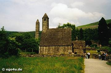 IndicatedEnclosure · 339 yd
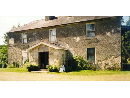 Killedan Housefarm house · 1219 yd
 Killedan ChurchChurch · 1.0 mi
 Enclosure in Clooneen (gallen By.)Enclosure · 1.9 mi
 Thorn CaveCave · 2.1 mi
 I'll Send You The FareMemorial · 2.6 mi
 Kiltimagh MuseumMuseum · 2.8 mi
 Carrowbeg WoodWood · 3.5 mi
 CashlankeeghCastle, unclassified · 3.8 mi
 Shonagawna Castle in RuinsCastle, unclassified · 4.5 mi
 Michael DavittMemorial · 5.0 mi
 Brabazon WoodsForest · 5.1 mi