What is recorded here
On the steep E-facing slope leading upwards to the W from Blind Man's Cove on Sceilg Mhichíl. During excavation and conservation work in 2001 over 400 steps (Wth 1-1.5m; H 0.1-0.2m) were uncovered and damaged steps were repaired (Bourke 2003, 170). The steps were constructed from stone flags set on a foundation of coursed stone. Known as the 'East Steps', they lead up to the main ecclesiastical complex through a lintelled passage into the Lower Monks' Garden (KE104A001102-) and thence wind upwards leading into the monastic enclosure. The lower section of the steps was destroyed during the construction of the lighthouse road in the 1820s; the remains of a building (KE104A001031-) were uncovered in 2002 at the lower end of the steps.
See attached contour plan showing the location of the east steps, taken from Sceilg Mhichíl World Heritage Property Management Plan 2020–30
Compiled by: Elizabeth Byrne, Ursula Egan and Sheila Ronan, Archaeological Survey Unit, University College, Cork.
Revised by: Caimin O'Brien
Date of revised upload: 3 March 2022
This remains an important historical record, but the official description says the monument is no longer visible or has been destroyed. The monument record does not grant public access. Check the route and ask the landowner before entering private land.
- What survives
- No visible remains or recorded as destroyed
Places near here
 Cross in Sceilg MhichílCross · 51 yd
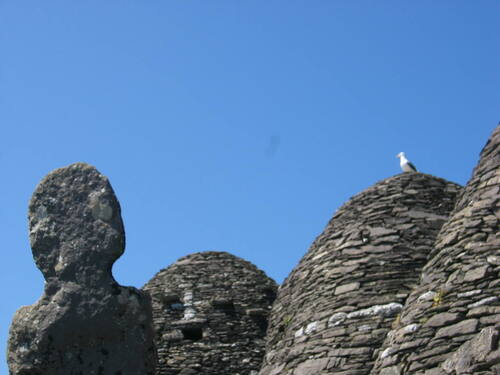 Church (in Ruins)Church · 157 yd
 Skellig MonasteryHeritage attraction · 169 yd
 North PeakMountain / peak · 204 yd
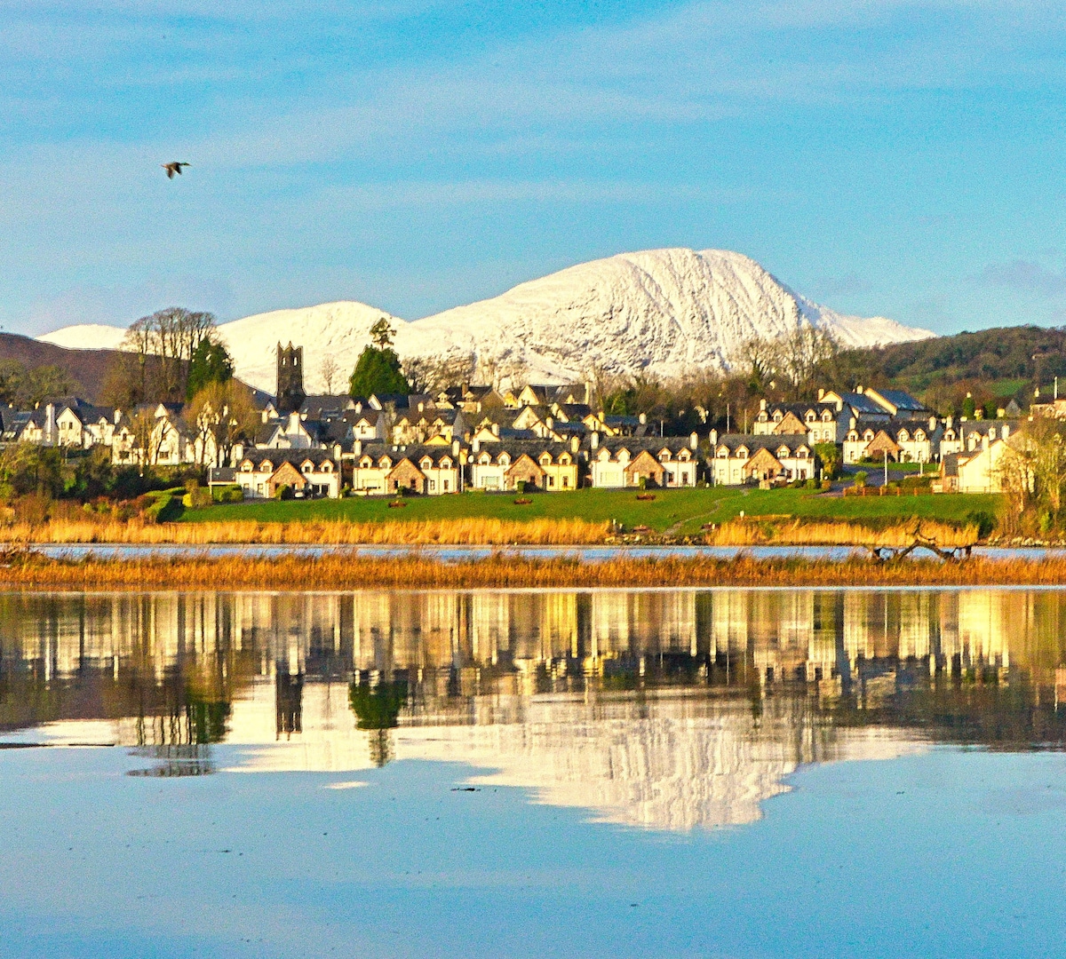 Pointe na bhFaoileannHeadland · 266 yd
 Sceilig MhichílIslet · 314 yd
 Enclosure in Sceilg MhichílEnclosure · 320 yd
 Church in Sceilg MhichílChurch · 402 yd
 Sceilg MhíchílMountain / peak · 423 yd
 Sceilig BheagIslet · 1.4 mi
 LéimeHeadland · 6.7 mi
 Tráigh na SplinceBeach / strand · 8.5 mi