What is recorded here
Located on a hillock with higher ground to the E and S and within view of Scarvy House c. 240m to the NNW. It is depicted as an oval wooded enclosure only on the 1907 edition of the OS 6-inch map. This is an oval grass-covered area (dims 35m NW-SE; 24m NE-SW) defined by a low earthen bank (Wth c. 2m; int. H c. 0.2m; ext. H c. 0.7-1m) planted with deciduous trees, and slight traces of an outer fosse. There is no identifiable entrance and it is likely to be an ornamental tree-ring.
Date of upload: 14 April 2011
The monument record does not grant public access. Check the route and ask the landowner before entering private land.
- What survives
- Recorded monument
Places near here
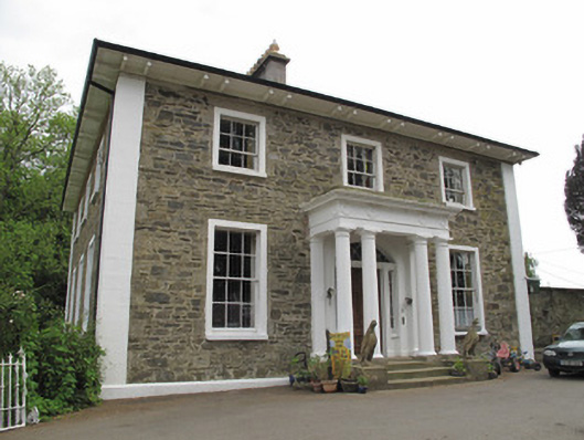 Scarvy Housecountry house · 284 yd
 Standing stone in ScarvyStanding stone · 604 yd
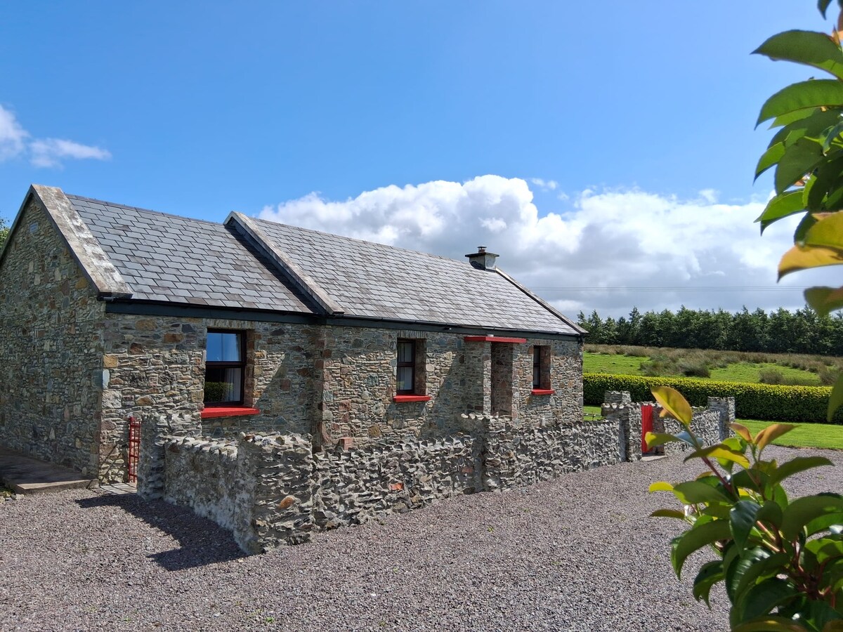 KilderryBurial ground · 629 yd
 European YewEuropean Yew · 1161 yd
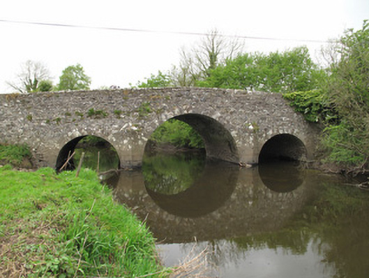 Scarvy Bridgebridge · 1371 yd
 Mullaghmore WoodWood · 1.6 mi
 Ulster Canal Stores Visitor CentreHeritage attraction · 1.7 mi
 Abbey RuinsHeritage attraction · 1.7 mi
 Bawn in CrossmoyleBawn · 1.7 mi
 CastleCastle, motte and bailey · 1.8 mi
 Saint John's WellSpring · 1.9 mi
 LattacrossanMountain / peak · 3.8 mi