What is recorded here
Indicated is a ruined fairy fort in County Galway, marked by a grass-covered stone ring and hawthorn bushes rather than a standing wall. The site may have housed people, hidden children or simply tested the patience of everyone who walked past it.
In rolling grassland. Poorly preserved circular cashel (diam. 26.7m) defined by a low drystone wall
which is best preserved at S (Wth 1.55m; H 0.5m); elsewhere it survives as a grassed-over stony bank. Field-clearance rubble has been piled against the enclosing element at E and W and hawthorn bushes are growing around its perimeter. (McCaffrey 1952, 171, no. 32; Waddell 1977, 62)
Compiled by: Galway Archaeological Survey, UCG
Date of upload: 11 April 2018
The monument record does not grant public access. Check the route and ask the landowner before entering private land.
- What survives
- Recorded monument
Places near here
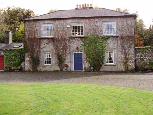 Saint Cleran'ssteward's house · 842 yd
 R.C. ChapelChapel · 1507 yd
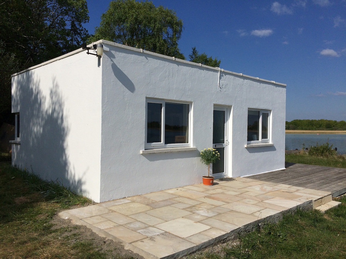 Enclosure in Carrowbaun (loughrea By.)Enclosure · 1610 yd
 Man-made underground passage in Carrowbaun (loughrea By.)Man-made underground passage · 1711 yd
 Castle (in ruins)Castle, tower house · 1.1 mi
 Cloghastookeen Castle (in ruins)Castle, unclassified · 1.6 mi
 Moyard WoodWood · 3.2 mi
 Blake's IslandIslet · 3.8 mi
 Barrack IslandIslet · 4.1 mi
 Turoe StoneHeritage attraction · 4.2 mi
 Long PointHeadland · 4.9 mi
 Athenry AbbeyHeritage attraction · 5.9 mi
Other information
Photo: Credit not shown in the picture search · Rights wording not checked; contact us if this picture should be removed