What is recorded here
Marked as a circular enclosure (diam. c. 30m) on the 1837 and 1929 eds of the OS 6-inch map and situated at the crest of the N-facing slope of a broad W-E spur. This is a rectangular grass-covered area (dims 50m NNE-SSW; 27.5m WNW-ESE) defined by a NNE-SSW field bank at W, a scarp (Wth 3.8m; H 0.4m) at E, an earthen bank (Wth 4.4m; int. H 0.3m; ext. H 0.7m) and hedge at S, and a band of nettles (Wth 2m) at N. It is divided into two by a grass-covered E-W ditch or depression (Wth 4m; D 0.3m) and the field bank at W probably truncates the monument. Geophysical survey (09R145) confirms that it was rectangular and surrounded by a fosse or ditch (Wth c. 3m), which extends off to the S (L c. 50) from the centre of the S side (Barton 2009). Archaeological testing (09E0525) 50-100m outside the monument to the N, E and S failed to produce any related material (Morahan 2012). The E-W feature may be a track leading to a causeway over the fosse at W. Ring-barrow (RO034-071----) is c. 40m to the SE.
Compiled by: Michael Moore
Date of upload: 24 August 2010
The monument record does not grant public access. Check the route and ask the landowner before entering private land.
- What survives
- Recorded monument
Places near here
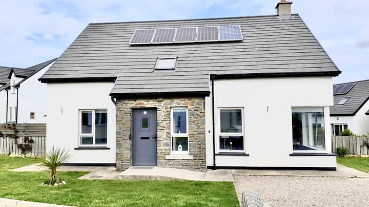 Enclosure in Creeve (ballymoe By.)Enclosure · 939 yd
 Embanked enclosureFairy fort / earthen ringfort · 1083 yd
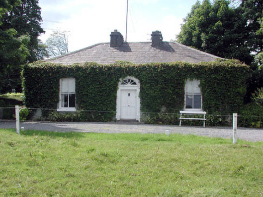 Ballydooley Lodgegate lodge · 1334 yd
 HawthornHawthorn · 1465 yd
 Old KilnKiln · 1.2 mi
 European ashEuropean ash · 4.5 mi
_-_geograph.org.uk_-_1952978.jpg?width=1280) Bawn in Glinsk (ballymoe By.)Bawn · 4.8 mi
Bawn in Glinsk (ballymoe By.)Bawn · 4.8 mi CastleCastle, Anglo-Norman masonry castle · 4.9 mi
 Site of Killomaine Grave YardArchaeological place · 5.4 mi
 Roscommon CastleCastle · 6.1 mi
 Sally IslandIslet · 7.4 mi
 Mount MaryMountain / peak · 8.0 mi