What is recorded here
On a rise in undulating pasture, with widest views out to W. Hachured on both the first (1842) and Cassini (1920) editions of the OS 6-inch map. Listed as ‘Enclosure’ in the RMP (1996). This subcircular cashel (40.7m NE-SW; 37.4m NW-SE) is defined by an overgrown wall (H c. 0.2m) of which only the basal stones survive. A later drystone wall is built over part of the cashel perimeter. There is an entrance gap (Wth 3m) at the WNW which may not be original. At the S edge of the grass-covered, gently NE-sloping interior a rectangular drystone structure with a curved NE corner (int. dims. 16.4m WNW-ESE; 4.4m NNE-SSW) is defined by a coursed wall (H 1-1.6m). There is a gap (Wth 2.1m) at the E end of the S wall, and a stone-filled doorway (Wth 1.1m) near the W end of that wall.
On a rise in undulating pasture, with widest views out to W. Hachured on both the first (1842) and Cassini (1920) editions of the OS 6-inch map. Listed as ‘Enclosure’ in the RMP (1996). This subcircular cashel (40.7m NE-SW; 37.4m NW-SE) is defined by an overgrown wall (H c. 0.2m) of which only the basal stones survive. A later drystone wall is built over part of the cashel perimeter. There is an entrance gap (Wth…
From the National Monuments Service (Archaeological Survey of Ireland) record CL017-005
The monument record does not grant public access. Check the route and ask the landowner before entering private land.
- What survives
- Recorded monument
Places near here
Photo credits
- Night of the Big Wind, Wikimedia Commons · CC BY-SA 3.0 nl
- Muimhneach, Wikimedia Commons · CC BY-SA 4.0
- Andreas F. Borchert, Wikimedia Commons · CC BY-SA 4.0
- National Inventory of Architectural Heritage
- Bob Jones, Geograph · CC BY-SA 2.0
- Adrian King, Geograph · CC BY-SA 2.0
- Martin Kerans, Geograph · CC BY-SA 2.0
- Ingo Mehling, Wikimedia Commons · CC BY-SA 3.0
- Colin Park, Geograph · CC BY-SA 2.0
- N Chadwick, Geograph · CC BY-SA 2.0
- Roger Diel, Geograph · CC BY-SA 2.0
 Cross in RoughanCross · 1159 yd
 Sheela-na-gig in KillinaboySheela-na-gig · 1175 yd
 Kilinaboy Church (in ruins)Church · 1176 yd
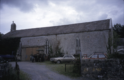 Saint Joseph's Catholic ChurchChurch/chapel · 1436 yd
 Inchiquin Castle (in ruins)Castle, tower house · 1.4 mi
 Inchiquin IslandIslet · 1.6 mi
 Rock IslandIsland · 1.7 mi
 Leamaneh Castle (in ruins)Castle, tower house · 1.9 mi
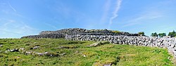 CaherconnellHeritage attraction · 4.9 mi
 Burren Centre KilfenoraVisitor information · 5.0 mi
 High CrossHeritage attraction · 5.0 mi
 Cave of the Wild HorsesCave · 5.1 mi
More archaeology and monuments in County Clare · All of County Clare
What do you know about this place?