What is recorded here
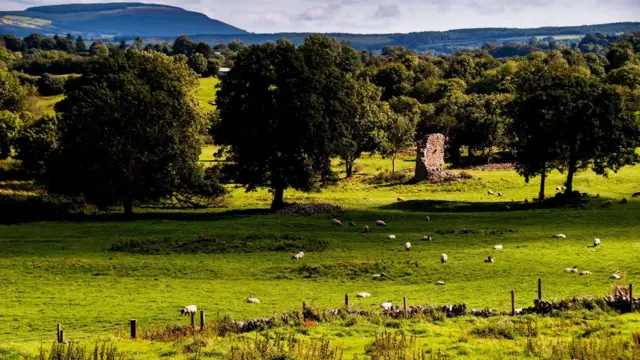
In pasture, atop hill. Depicted as roughly circular enclosure (diam. c. 40m) planted with trees on 1842, 1905 and 1937 OS 6-inch maps, in field to N of Rossline House. Levelled; faint trace of circular enclosure visible as cropmark of bank and external fosse in aerial photograph (GSIAP, R680). Known locally as cattle shelter.
The above description is derived from the published 'Archaeological Inventory of County Cork. Volume 4: North Cork' (Dublin: Stationery Office, 2000). In certain instances the entries have been revised and updated in the light of recent research.
Date of upload/revision: 14 January 2009
The monument record does not grant public access. Check the route and ask the landowner before entering private land.
- What survives
- Recorded monument
Places near here
 Kilcorcoran Church (Site of)Church · 716 yd
 Grave YardGraveyard · 728 yd
 IndicatedHouse, vernacular house · 1476 yd
 Rossacon HouseCountry house · 1.0 mi
 Stanner's Glen, Priory WoodWood · 1.1 mi
 Carrig Castle (Site of)Castle, unclassified · 2.1 mi
 Hanna SheehyMemorial · 2.8 mi
 Castle McAuliffe (Site of)Castle, unclassified · 3.1 mi
 Kanturk CastleHeritage attraction · 3.7 mi
 Burial ground in AssolasBurial ground · 5.0 mi
 European YewEuropean Yew · 5.2 mi
 St Fursey's WellSpring · 6.0 mi