What is recorded here
In pasture, located on an elevation, in an area of gently undulating grassland, with extensive views in all directions, including Rathfran Bay to N and Killala Bay to S.
This rath consists of a broadly oval, raised area (25.5m N–S; 30.8m E–W) defined by remnants of an earthen bank. The bank (Wth c. 5m; int. H 0.4m; ext. H 1.8m) is best preserved at S–SW. Elsewhere it survives as a scarp which retains a slight internal lip. The scarp has a pronounced external slope (max. ext. H 2.5m at W) at SW−N, but is lower at NE−E (ext. H 0.65m at E). Outside the bank at NW–N there is a slight depression (Wth c. 4m) which may indicate a fosse. The interior is generally level, but appears slightly lower at E. Slight remains of a linear bank (Wth 1m) extends on a roughly E–W axis across the S half of the interior, and a similar feature is visible in the N half of the interior; they may be relict cultivation ridges. At NW, close to the bank, a roughly circular pit (7m NE–SW; 5.5m NE–SE; D 0.8m) has been quarried into the interior.
Compiled by: Jane O’Shaughnessy
Date of upload: 15 November 2018
The monument record does not grant public access. Check the route and ask the landowner before entering private land.
- What survives
- Recorded monument
Places near here
 RathmoreFairy fort / earthen ringfort · 1110 yd
 Templemurry Grave YardGraveyard · 1293 yd
 Rathfran Abbey in ruinsReligious house, Dominican friars · 1526 yd
 Rinnaun PointHeadland · 1620 yd
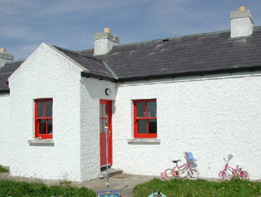 Ross Coastguard Stationcoastguard station · 1743 yd
 Green IslandIslet · 1.2 mi
 Battle of Killalabattle · 1.4 mi
 CastleCastle, unclassified · 1.5 mi
 CastlenageehaCastle, unclassified · 1.6 mi
 TrabaunBeach / strand · 1.9 mi
 Battlefields of MoyneBattlefield · 2.4 mi
 Bartragh IslandIsland · 2.7 mi
Other information
Photo: Credit not shown in the picture search · Rights wording not checked; contact us if this picture should be removed