What is recorded here
In pasture, straddles the E side of a low rise in a relatively lowlying position on an expanse of undulating grassland which merging with expanse of grass-covered sand dunes at NE, and is flanked to NW by the mouth of the Palmerstown River, and to SE by Killala Bay. Overlooked c. 100m to NNE by a hillock on top of which is a mound barrow (MA015-085----). Nephin Mountain is clearly visible to SSE and the Ox Mountains define the distant skyline on the opposite side of Killala Bay to S–SE.
This ringbarrow consists of a circular platform (13.8m N–S; 13.8m E–W; H 0.6m above fosse base) enclosed by a fosse (Wth 2.5m; D 0.35m) with an external bank (Wth 4m; int. H 0.2m; ext. H 0.65m at S). The overall diameter is c. 23m. The central platform appears slightly higher in the centre with a slight slope down to S–SE. There are two boulders embedded in the platform, one (max. dim. c. 0.75m; H 0.4m) in the centre, and another of similar size c. 2m to SE.
Compiled by: Jane O’Shaughnessy
Date of upload: 6 December 2018
The monument record does not grant public access. Check the route and ask the landowner before entering private land.
- What survives
- Recorded monument
Places near here
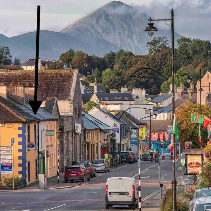 IndicatedFairy fort / earthen ringfort · 353 yd
 RathmoreFairy fort / earthen ringfort · 943 yd
 Rinnaun PointHeadland · 1341 yd
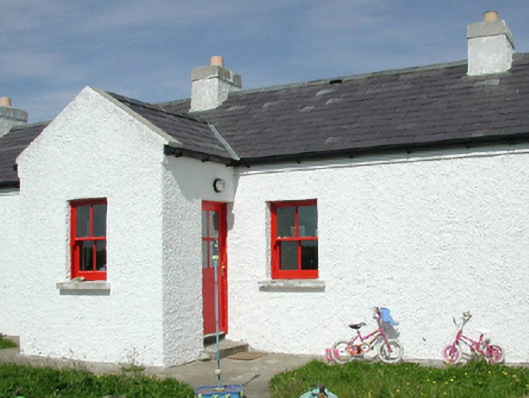 Ross Coastguard Stationcoastguard station · 1391 yd
 Rathfran Abbey in ruinsReligious house, Dominican friars · 1.1 mi
 Green IslandIslet · 1.2 mi
 Battle of Killalabattle · 1.4 mi
 CastleCastle, unclassified · 1.4 mi
 CastlenageehaCastle, unclassified · 1.6 mi
 TrabaunBeach / strand · 1.9 mi
 Battlefields of MoyneBattlefield · 2.2 mi
 Bartragh IslandIsland · 2.5 mi