What is recorded here
Indicated, Rosegarland was the castle and bawn of Marcus Synnott, still in good repair in 1640 when the Civil Survey named it. The tower house may have stood at the northwest angle of a small walled court, while the Corock River bent past the eastern slope. A residence, a defence and a domestic world may have filled that modest square, though no wall remains certain.
Situated towards the bottom of an E-facing slope with the meandering N-S Corock River c. 70m to the E. According to the Civil Survey (1654-6) Marcus Synnott owned the castle and bawn at Rosegarland, which were in good repair in 1640 (Simington 1953, 90). There is no evidence of a bawn associated with the tower house (WX040-042----), unless it is on the site of a small walled enclosure (dims. c. 30m N-S; c. 30m E-W) defined by masonry walls with brick crenellation that has the tower house at its NW angle.
Marcus Synnott owned Rosegarland Castle and its bawn in the mid-17th century, as recorded in the Civil Survey of 1654–56; the site is remembered for its historical association with landownership and defensive structures in early modern Ireland.
The monument record does not grant public access. Check the route and ask the landowner before entering private land.
- What survives
- Recorded monument
Places near here
 CastleCastle, tower house · 15 yd
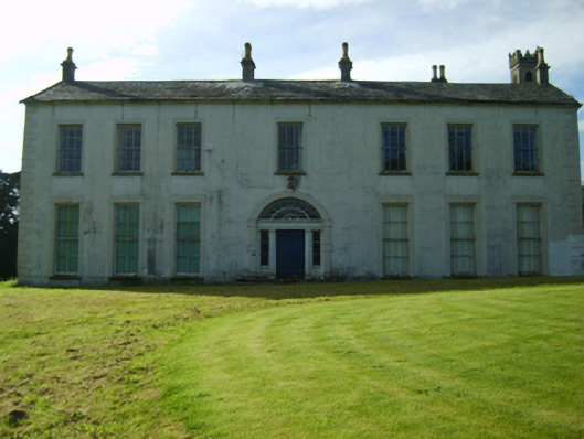 Rosegarland Housecountry house · 49 yd
 Ladys WellHoly well · 511 yd
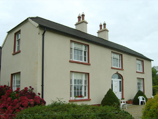 Ballingly Housefarm house · 587 yd
 Coolcliffe HouseRuins · 1584 yd
 St. Johns WellHoly well · 1.1 mi
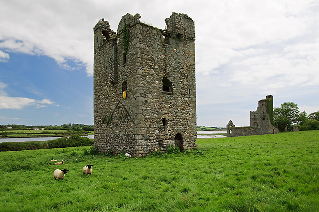 Black Castle (in ruins)Castle, tower house · 1.7 mi
 Carrig-On-BannowVisitor information · 3.1 mi
 1798 MemorialMemorial · 3.2 mi
 Cullenstown StrandBeach / strand · 4.7 mi
 Blackhall StrandBeach / strand · 4.8 mi
 Bridges ChamberCave · 4.9 mi