
What is recorded here
Indicated is a vanished ringfort on a Galway rise, remembered only through measurement and doubt. McCaffrey imagined stone beneath earthen cover, yet no trace remains for eyes to find. The land keeps its shape while withholding proof, turning history into a game of faith.
On a prominent rise in pastureland. While classified by McCaffrey (1952, 248, no. 11a) as a circular ‘Earthen fort’ (diam. c. 35.7m) defined by a bank, he suggests that it might have been ‘a stone fort with earthen cover’. No visible surface trace survives.
Compiled by: Galway Archaeological Survey, UCG
Date of upload: 10 April 2018
The monument record does not grant public access. Check the route and ask the landowner before entering private land.
- What survives
- Recorded monument
Places near here
 Roo Castle (in ruins)Castle, tower house · 461 yd
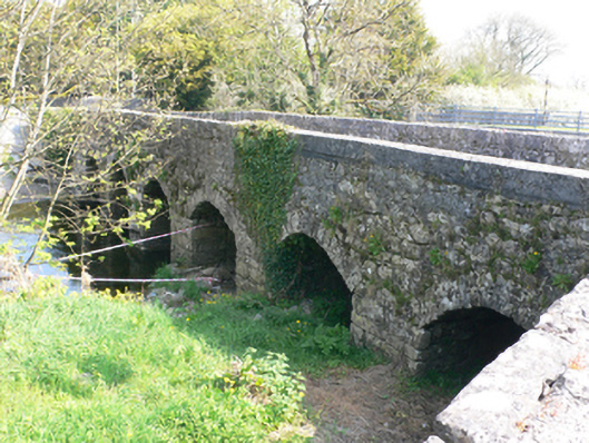 bridgebridge · 813 yd
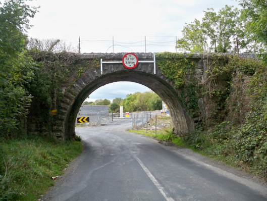 Aggard Bridgebridge · 921 yd
 LissataggartFairy fort / earthen ringfort · 1202 yd
 LisdooFairy fort / stone ringfort · 1381 yd
 Strongfort Castle (in ruins)Castle, tower house · 1440 yd
 Moyard WoodWood · 2.9 mi
 Kilcornan ForestWood · 5.6 mi
 MweenisharanIslet · 9.0 mi
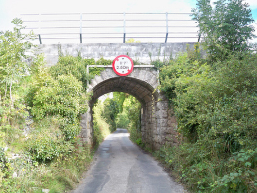 Grenage Bridgebridge · 1002 yd
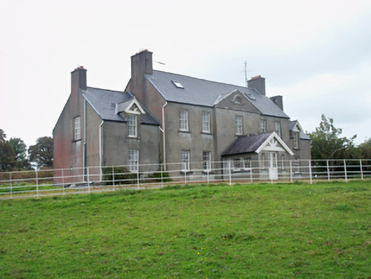 Ballymore Parkcountry house · 1042 yd
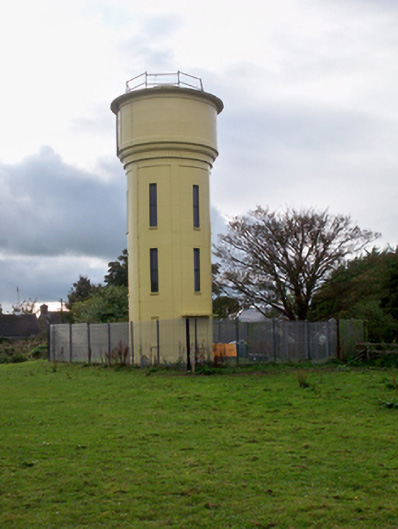 water towerwater tower · 1209 yd
Other information
Photo: Credit not shown in the picture search · Rights wording not checked; contact us if this picture should be removed