What is recorded here
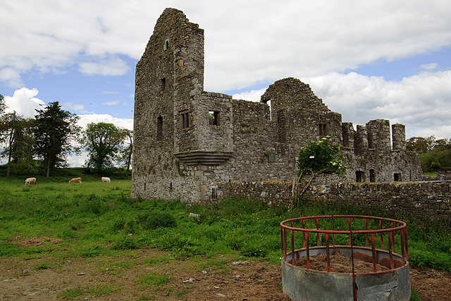
The manorial church at Robertstown (ME011-005----) is situated on a fairly level landscape within a rectangular graveyard (dims c. 37m NE-SW: c. 35m NW-SE) defined by earthen banks (Wth c. 5m; H c. 1m) and hedges, which were not present in 1682-5 according to Dopping (Ellison 1973, 8). The path (Wth c. 3m) connecting it with a public road c. 30m to the W is bordered by similar banks. The cross (ME011-005001-) is on the N side of the path as it enters the graveyard. Two graveslabs are in the church, that at the NE angle (ME011-005002-) is dated 1618, while that at the SE angle (ME011-005005-) dates from 1688 (King 1987, 300-01, 305). The late 16th or early 17th century Barnwall castle (ME011-006----) is c. 250m to the SSW and the motte (ME011-004----) is c. 260m to the SW.
Compiled by: Michael Moore
Date of upload: 20 May, 2014
Amended: 10 July, 2014
The monument record does not grant public access. Check the route and ask the landowner before entering private land.
- What survives
- Recorded monument
Places near here
 Church in Robertstown (kells Lower By.)Church · 14 yd
 Bawn in Robertstown (kells Lower By.)Bawn · 272 yd
 IndicatedHouse, fortified house · 279 yd
 CrossCross, Churchyard cross · 993 yd
 Concentric enclosure in Cruicetown (kells Lower By.)Concentric enclosure · 1146 yd
 Owenroe and Moynalty DrainageMemorial · 1.1 mi
 Cherburg WoodForest · 1.7 mi
 European YewEuropean Yew · 1.9 mi
 Kiln in Altmush (morgallion By.)Kiln · 2.1 mi
 GravelstownMountain / peak · 2.5 mi
 Gallows HillMountain / peak · 2.6 mi
 Nobber GreenwayMemorial · 2.6 mi