What is recorded here
On the summit of a low headland on E shore of Lough Corrib. Marked on 1st ed. of OS 6-inch map as a small circular hachured enclosure (D c. 30m) and on 3rd ed. (1922) as a subcircular area defined by a field boundary. What survives is an overgrown subcircular area (NE-SW 22.3m) enclosed by a fairly wide but modern-looking drystone wall (Wth 1.35m) with an entrance at SE. This may overlie an older wall as evidenced by a line of collapsed stone visible beneath it internally.
The above description is derived from the published 'Archaeological Inventory of County Galway Vol. II - North Galway'. Compiled by Olive Alcock, Kathy de hÓra and Paul Gosling (Dublin: Stationery Office, 1999).
Date of upload: 05 August 2010
The monument record does not grant public access. Check the route and ask the landowner before entering private land.
- What survives
- Recorded monument
Places near here
 IndicatedFairy fort / ringfort · 630 yd
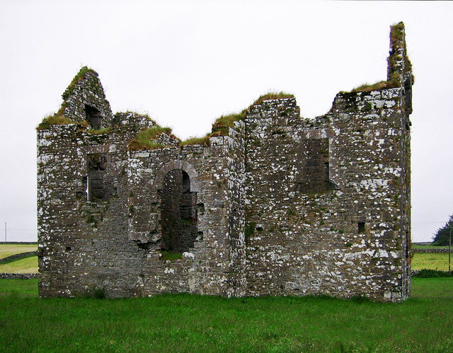 Annaghkeen Castle (in Ruins)Castle, Anglo-Norman masonry castle · 777 yd
 Annaghkeen CastleCastle · 779 yd
 Country house in AnnaghkeenCountry house · 793 yd
 Rabbit IslandIslet · 1040 yd
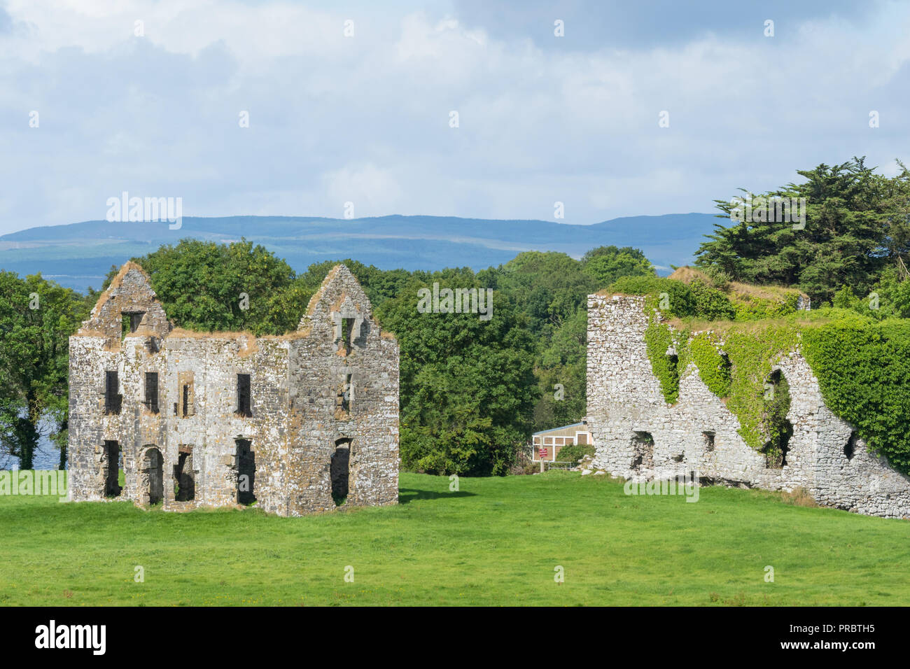 Enclosure in AnnaghkeenEnclosure · 1474 yd
 Devinish IslandIslet · 1.1 mi
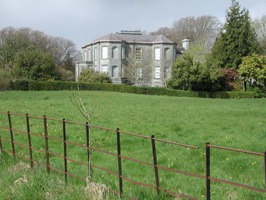 Clydagh Housecountry house · 1.6 mi
 BallynacreggaWood · 2.0 mi
 Ross Errilly FriaryHeritage attraction · 3.8 mi
 Brigit's GardenHeritage attraction · 4.2 mi
 Annagh WoodWood · 4.6 mi