What is recorded here
Located on a level landscape inside the perimeter of moated site (WX046-052001-) at N. Inside the entrance at N is an inner water-filled moat (L 73m E-W; Wth 12m; D 3m) which does not connect with the outer moats and can be described as a fish-pond. Archaeological testing (06E0631) in removing tree-stumps within the moated site produced no archaeological material (Stafford 2009). The tower house of Ballymagir (WX046-052002-) is c. 25m S of the fish-pond.
Compiled by: Michael Moore
Date of upload: 31 January, 2014
The monument record does not grant public access. Check the route and ask the landowner before entering private land.
- What survives
- Recorded monument
Places near here
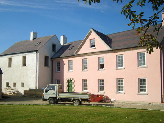 Richfield Housefarm house · 22 yd
 CastleCastle, unclassified · 38 yd
 IndicatedRoad, road/trackway · 466 yd
 Fulacht fia in RichfieldFulacht fia · 562 yd
 Not idicatedFulacht fia · 944 yd
 Cull IslandIsland · 1.3 mi
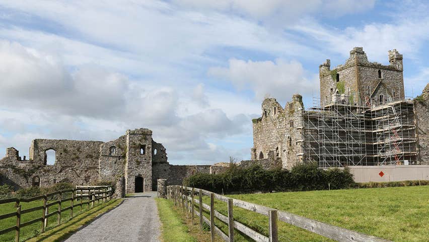 Castle (Site of)Castle, unclassified · 1.5 mi
 Ballyteigue BurrowNature reserve · 2.0 mi
 Memorial Trail & Garden in Honour of Those Lost at SeaMemorial · 2.7 mi
 Ivan Sutton Art ExhibitionGallery · 2.8 mi
 Whale boneHeritage attraction · 2.8 mi
 Kilmore Quay - Crehen Twinning MemorialMemorial · 2.8 mi