What is recorded here
Indicated is a small graveyard in County Louth, Ireland, marked on the 1911 map but absent from the 1835 map, with a church occupying its western half. That sudden appearance on paper after decades of silence suggests either a forgotten burial ground waiting to be remembered or a cartographer finally hearing what the land had long whispered. Either way, the place holds dead people, a building, and a gap in human attention that measurement cannot erase.
Not marked on the 1835 'OS 6-inch' map. Small square shaped area marked 'graveyard' indicated on the 1911 'OS 6-inch' map (map dims. L. c. 40m) with church (LH011-041001-) in the W half.
Compiled by: Claire Breen
Date of upload: 4 April 2012
The monument record does not grant public access. Check the route and ask the landowner before entering private land.
- What survives
- Recorded monument
Places near here
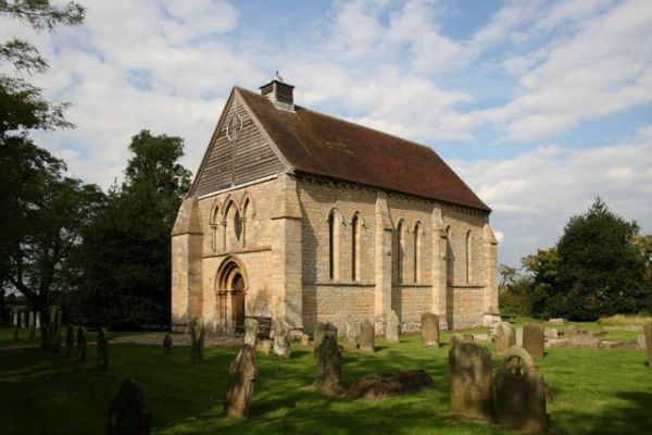 R.C. ChapelChurch · 23 yd
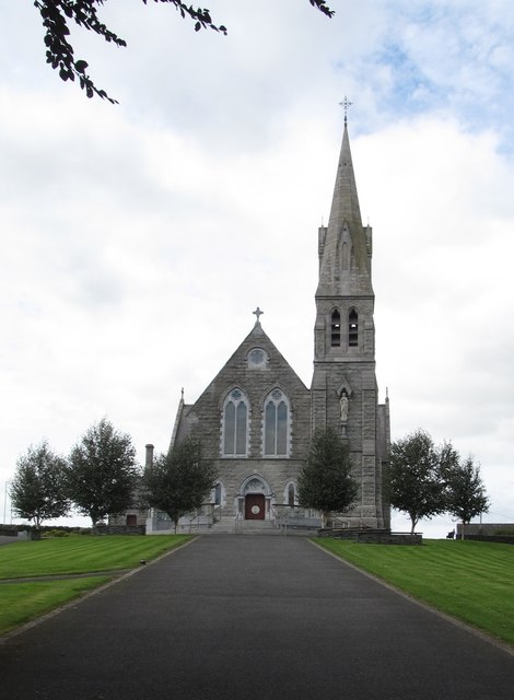 Catholic Church of the Immaculate Conceptionchurch/chapel · 70 yd
 MoatCastle, motte · 261 yd
 Font in Richard Taaffe's HoldingFont · 368 yd
 Church TowerRound tower · 490 yd
:no_upscale()/cdn.vox-cdn.com/uploads/chorus_asset/file/25593391/County_Louth_6th.jpg) LouthMountain / peak · 768 yd
LouthMountain / peak · 768 yd RathneestinCastle, tower house · 1.6 mi
 SycamoreSycamore · 2.0 mi
 European YewEuropean Yew · 2.1 mi
 Flat cemetery in AnnaheanFlat cemetery · 4.9 mi
 BallybarrackMountain / peak · 5.2 mi
 Photo GalleryHeritage attraction · 6.4 mi