What is recorded here
Indicated is a fairy fort in County Mayo, Ireland. It is a circular earthen ring on a low ridge, with a thin bank, a shallow outer ditch, and a possible entrance on the east. A farm building stands inside the ring now. The pasture stretches around it in soft ridges, as if the land forgot the fort was ever separate from it.
In pasture, on low ridge, surrounded by undulating pasture. Circular area (26m N-S; 27m E-W), enclosed by earthen bank (H 0.7m), with external fosse (D 0.3m) N to E. Possible entrance (Wth 1.9m) on E. Gap (Wth 4.6m) on S, marked by iron gate. Interior contains farm building.
The above description has been derived from D. Lavelle (compiler), An Archaeological Survey of Ballinrobe and District including Lough Mask and Lough Carra. Lough Mask and Lough Carra Tourist Development Association (1994), No. 205.
Date of upload: 23 January 2013
The monument record does not grant public access. Check the route and ask the landowner before entering private land.
- What survives
- Recorded monument
Places near here
 IndicatedFairy fort / earthen ringfort · 670 yd
 Site of Rosslee ChurchChurch · 1711 yd
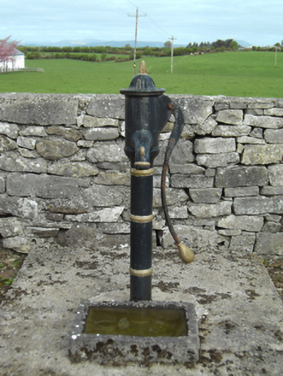 water pumpwater pump · 1.1 mi
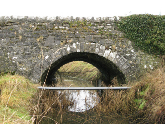 Ballyglass Bridgebridge · 1.1 mi
 Castle LucasCastle · 2.0 mi
 Bawn in BellanaloobBawn · 2.4 mi
 Cerberus, from Thomastown HouseMemorial · 3.7 mi
 Moore Hall Forest TrailWalking route · 4.0 mi
 Moore Hall ForestForest · 4.2 mi
 Creevagh IslandIslet · 4.2 mi
 Connors IslandIslet · 4.2 mi
 Kiltoom PointHeadland · 4.4 mi