What is recorded here
A road bridge (Wth 5.7m; long axis N-S) spanning the Cullavaw stream. It is built of random rubble sandstone. The two segmental arches (span 3.6m) have roughly shaped voussoirs. There is a low pointed cutwater on the upstream side of the pier (Wth c. 1m) and vertical stone coping on the parapets. The riverbed under the arches is paved. The bridge is known locally as Cullavaw Bridge.
Compiled by: Elizabeth Byrne, Ursula Egan and Sheila Ronan, Archaeological Survey Unit, University College, Cork.
Date of upload: 31 January 2011
The monument record does not grant public access. Check the route and ask the landowner before entering private land.
- What survives
- Recorded monument
Places near here
 Ballycullane Br.Bridge · 310 yd
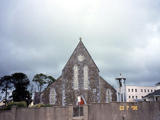 Saint Joseph's Catholic Churchchurch/chapel · 649 yd
 Enclosure in Rath More (magunihy By., Rathmore Ed)Enclosure · 1209 yd
 Burnt spread in IslandearaghBurnt spread · 1723 yd
 Nohaval WoodWood · 1.8 mi
 BarraduffMemorial · 4.2 mi
 Caherbarnagh NW TopMountain / peak · 4.2 mi
 CaherbarnaghMountain / peak · 4.6 mi
 Barna BogForest · 5.5 mi
 Killaha Castle (in Ruins)Castle, tower house · 7.4 mi
 Lissivigeen Stone CircleHeritage attraction · 9.4 mi
 Mass RockNamed rock · 9.4 mi