What is recorded here
In pasture, located on top of an E–W ridge, with good views in all directions.
This enclosure is shown as a circular, ringfort-sized enclosure on the 1838 and 1930 OS 6-inch maps. It has been levelled, but the outline of a slightly raised, roughly circular area (diam. c. 20m) can still be discerned.
There is a holy well (MA030-092001-) 160m to S.
Compiled by: Jane O'Shaughnessy
Date of upload: 12 April 2018
The monument record does not grant public access. Check the route and ask the landowner before entering private land.
- What survives
- Recorded monument
Places near here
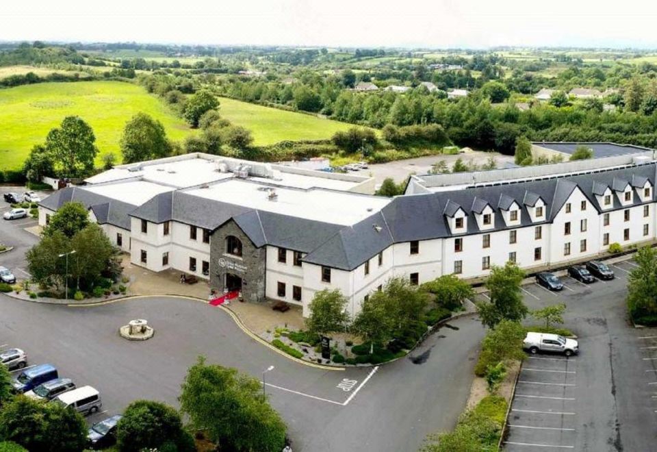 RathnabartHilltop enclosure · 726 yd
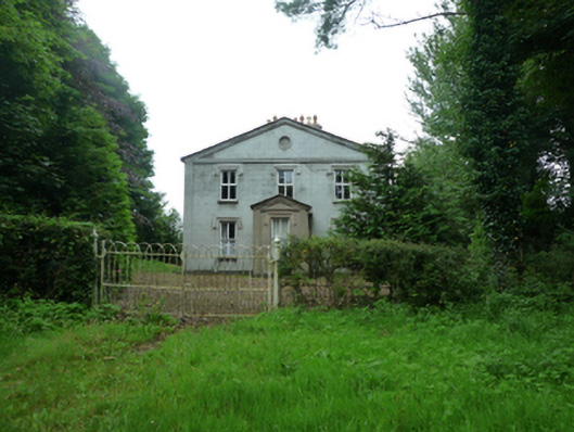 Thornfieldhouse · 955 yd
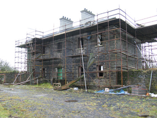 Ballybroony Housecountry house · 1636 yd
 TobernasoolHoly well · 1.3 mi
 Ballinteean CastleCastle · 1.8 mi
 Bawn in FarraghBawn · 2.4 mi
 Battle of Killalabattle · 3.9 mi
 Battlefields of MoyneBattlefield · 3.9 mi
 Rinphilip PointHeadland · 4.0 mi
 Moyne AbbeyHeritage attraction · 4.0 mi
 Gortabradawn PointHeadland · 4.1 mi
 Belleek WoodsWood · 4.2 mi