What is recorded here
Indicated is a sunken oval enclosure in County Mayo, Ireland, marked on the 1838 map as a circular ringfort-sized feature and still visible beneath a field fence, hawthorn, bramble and pine. Its western bank is broader, its interior slopes downward as if dug or taken, and a stone-and-earth rise cuts across the eastern half like a scar left by removal. It sits beside wet ground and a distant lake, not far from another rath, suggesting a place where people shaped, used or damaged the land before the boundary line swallowed it.
In an area of undulating average pasture, located close to the E boundary of the townland. It straddling an ENE-facing slope, which borders the W side of a small, roughly N–S valley of wettish ground. There is a small lake at the N end of the valley, 230m distant.
Shown on the 1838 OS 6-inch map as a circular, ringfort-sized enclosure, encircled by trees and incorporated into the line of a NW–SE field boundary; indicated on the 1929 edition as a polygonal, tree-planted enclosure incorporated into a NW–SE field boundary.
It consists of an oval, sunken area (37m N–S; 25.5m E–W) enclosed by an earthen bank (Wth 2m at E, 3m at W; int. H 0.2m at E, 0.75m at W; ext. H 1.25m at E, 1.4m at W). The bank is incorporated into a field fence, which continues to NNE and SSW beyond the rath. Outside the bank on the W half, there is a field ditch (Wth 1.4m; D 0.2m), which continues beyond the enclosure to N where it merges with the field ditch bordering the NNE-SSW field fence.
The interior is markedly sunken, sloping down steeply from the bank at W to the centre; this may be the result of quarrying. In the E half, there is a linear, sod-covered rise (Wth 5.5m E–W) of earth and stones, which extends almost the full N–S with of the interior; this also suggests disturbance or quarrying. This may be an enclosure or rath that has been partly quarried out
The perimeter is ringed with hawthorn, brambles and ash and Scot’s pine trees.
There is a rath (MA022-064----) 120m to SSW.
Compiled by: Jane O’Shaughnessy
Date of upload: 2 May 2019
The monument record does not grant public access. Check the route and ask the landowner before entering private land.
- What survives
- Recorded monument
Places near here
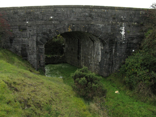 bridgebridge · 426 yd
 RathduffFairy fort / earthen ringfort · 490 yd
 IndicatedFairy fort / earthen ringfort · 513 yd
 CastleCastle, unclassified · 555 yd
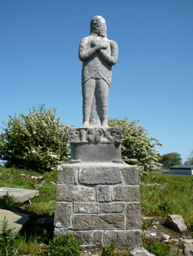 Grave monumentGrave monument · 1690 yd
 Moyne AbbeyHeritage attraction · 1.1 mi
 Gortabradawn PointHeadland · 1.1 mi
 Ballysakeery CastleCastle, unclassified · 1.2 mi
 Battlefields of MoyneBattlefield · 1.3 mi
 Barnasock PointHeadland · 1.5 mi
 Goose IslandIslet · 1.7 mi
 Horse IslandIslet · 1.8 mi