
What is recorded here
Situated on a level landscape. This is a circular area (diam. 34m E-W; 32.5m N-S) defined by an earthen bank (at N: Wth of base 3.5m; int. H 0.5m; ext. H 0.6m) largely reduced to a scarp (at S: Wth 1.5m; H 0.5m) separated by a berm (Wth 1.5-2m) from an outer earthen bank (Wth of base 3-4.5m; int. H 0.2m; ext. H 1m) and an outer drain (Wth of base 1m; ext. D 0.4-0.5m). The outer bank and drain are in straight sections (L c. 10m) and may be secondary relating to its use as a tree-ring and it is now planted in coniferous trees. There are entrances in the inner bank at N (Wth of base 4m) and E (Wth of base 1.7m).
The above description is derived from the published 'Archaeological Inventory of County Meath' (Dublin: Stationery Office, 1987). In certain instances the entries have been revised and updated in the light of recent research.
Compiled by: Michael Moore
Date of revision: 5 July 2019
Rathcormick is a circular earthen ringfort, likely dating to the early medieval period, indicating a settlement or defensive structure from around 500–1000 AD. Local folklore may associate such sites with fairy realms or ancient druidic activity, though specific traditions connected to this site are not recorded.
The monument record does not grant public access. Check the route and ask the landowner before entering private land.
- What survives
- Recorded monument
Places near here
 St Mary's Church, (site of)Archaeological place · 485 yd
 EnclosureEnclosure, large enclosure · 1.3 mi
 Moyrath CastleCastle, tower house · 1.4 mi
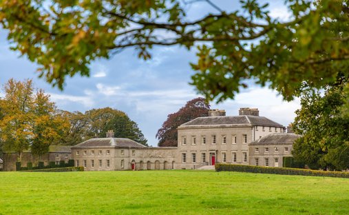 Ballynadrimna HouseRuins · 1.4 mi
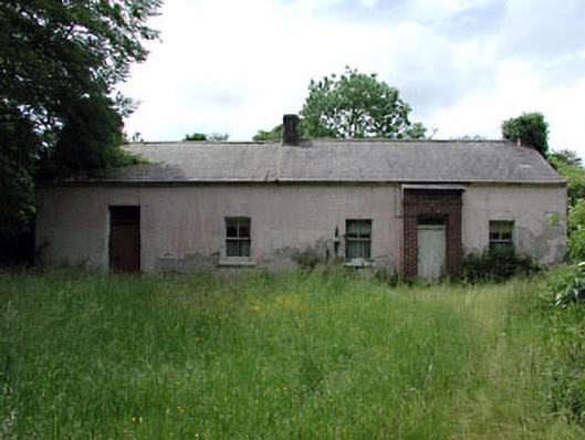 farm housefarm house · 1.4 mi
 MoatCastle, motte and bailey · 1.6 mi
 FraineMountain / peak · 2.2 mi
 ScregganWood · 4.1 mi
 European BeechEuropean Beech · 5.6 mi
 The New Line RoadMemorial · 8.7 mi
 BohermeenMountain / peak · 8.8 mi
 Croppies' GraveMemorial · 9.3 mi
Other information
Photo: Credit not shown in the picture search · Rights wording not checked; contact us if this picture should be removed