What is recorded here
Indicated marks a designed tree-ring on the demesne lands of Rathcoffey House, where a small grove still appears on the 1838 map and an enclosure remains outlined today. The ring may have been planted after 1700 to give the house a shaped horizon, a place for walk, shadow or ceremony. Even if its purpose has faded, the ground still holds the shape of human intention.
Situated on the demesne lands of Rathcoffey House located 225m to NNE. Cropmark of small enclosure visible on Digital Globe aerial photograph. Appears to be the remains of a tree-ring of post 1700 date as it is located on the demesne lands of Rathcoffey House. A small grove of trees is depicted at this location on the 1838 ed. OS 6-inch map. Outlined as a small enclosure on the current edition of the OS 6-inch map.
Compiled by: Caimin O'Brien based on details provided by Colin Flynn
Date of upload: 2 August 2018
The monument record does not grant public access. Check the route and ask the landowner before entering private land.
- What survives
- Recorded monument
Places near here
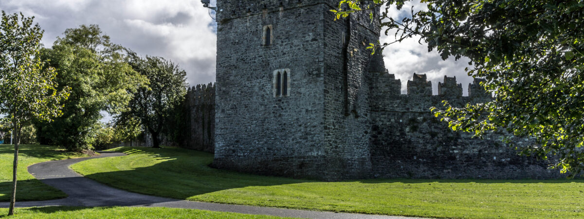 CastleCastle, Anglo-Norman masonry castle · 287 yd
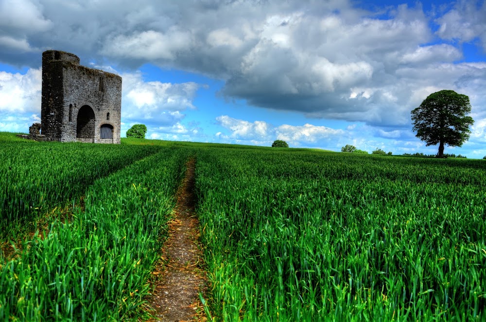 Enclosure in Rathcoffey DemesneEnclosure · 579 yd
 Enclosure in Rathcoffey SouthEnclosure · 687 yd
 Catholic Church of the Sacred Heartchurch/chapel · 1097 yd
 Richardstown Castle (in Ruins)Castle, tower house · 1.1 mi
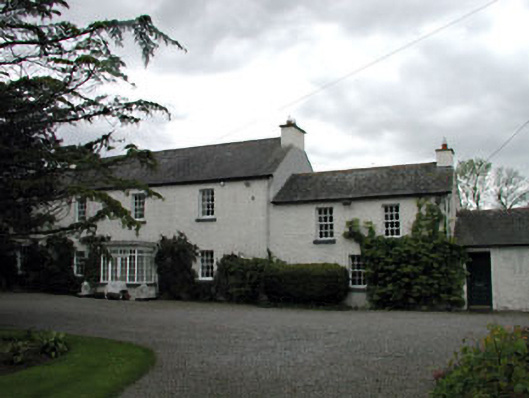 Baltracey Househouse · 1.3 mi
 Loughtown CovertWood · 1.8 mi
 Cocked Hat WoodWood · 2.6 mi
 Mass was there in Penal TimesMemorial · 3.7 mi
 Andrew FayMemorial · 3.8 mi
 Maynooth University South CampusHeritage attraction · 4.4 mi
 National Science MuseumMuseum · 4.4 mi