What is recorded here
Indicated is a fairy fort in County Cork, a thirty-metre circular pasture marked by a low earthen bank. It sits on a NW-facing slope where farmyard manure once filled the centre and heavy machinery cut the ancient surface. The place still holds the shape of human hands, even if memory has forgotten the names of those who lived inside its ring.
In pasture, on NW-facing slope. Circular area (diam. c. 30m) enclosed by earthen bank (int. H 1.4m) SW->SE. Farm yard manure stored in interior; interior surface cut up due to heavy machinery.
The above description is derived from the published 'Archaeological Inventory of County Cork. Volume 2: East and South Cork' (Dublin: Stationery Office, 1994). In certain instances the entries have been revised and updated in the light of recent research.
Date of upload/revision: 14 January 2009
The monument record does not grant public access. Check the route and ask the landowner before entering private land.
- What survives
- Recorded monument
Places near here
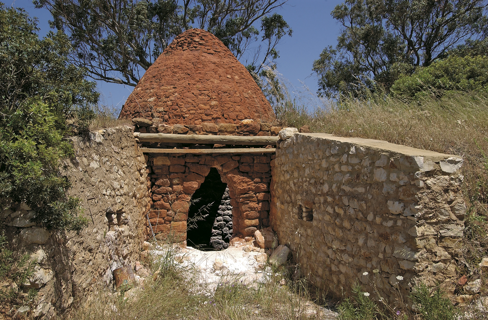 KilnKiln, lime · 440 yd
 IndicatedEnclosure · 895 yd
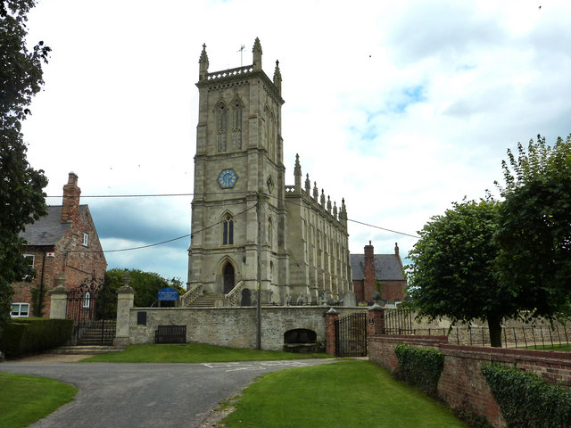 St John the Baptists WellHoly well · 1003 yd
 Caherduggan Housecountry house · 1571 yd
 Court (site of )Castle, unclassified · 1712 yd
 Monananig WoodsWood · 1.8 mi
 Moanbaun ForestForest · 2.4 mi
 Devonshire's HillMountain / peak · 2.5 mi
 Leamlara Castle (in Ruins)Castle, tower house · 2.8 mi
 Rathcormac massacremassacre · 3.2 mi
 Graveyard in KillasseraghGraveyard · 5.0 mi
 Gleeson MemorialMemorial · 5.3 mi