What is recorded here
In golf course, formerly pasture on NE-facing slope. Circular area (40m N-S; 37.5m E-W), enclosed by earthen bank (H 1.8m), partly levelled on E, with external fosse D (3.1m); outer bank S to W. Man-made underground passage (MA118-001002-) in N sector of tree-lined interior. Racecourse skirts E side. Site preserved as National Monument.
The above description has been derived from D. Lavelle (compiler), An Archaeological Survey of Ballinrobe and District including Lough Mask and Lough Carra. Lough Mask and Lough Carra Tourist Development Association (1994), No. 203.
Date of upload: 11 November 2013
This monument is subject to a preservation order made under the National Monuments Acts 1930 to 2014 (PO no. 28/1976).
Rathcarreen is a circular early-medieval ringfort, likely dating to between the 6th and 10th centuries, characterised by an earthen bank and external ditch. Local folklore, common to many such sites, associates it with the fairies, and it may have been known as a "fairy fort," with the underground pass possibly linked to legends of hidden fairy realms.
The monument record does not grant public access. Check the route and ask the landowner before entering private land.
- What survives
- Recorded monument
Places near here
 IndicatedFairy fort / earthen ringfort · 634 yd
 Enclosure in Creagh DemesneEnclosure · 956 yd
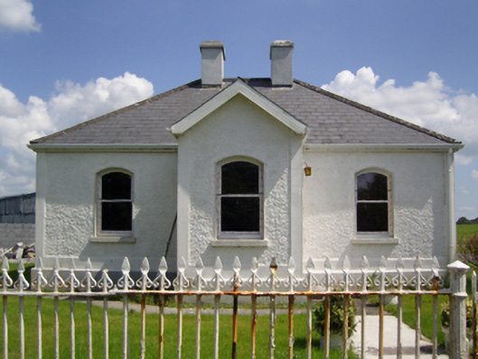 Creagh Housegate lodge · 986 yd
 Killeenatrava in ruinsChurch · 1457 yd
 Castle in ruinsCastle, unclassified · 1.5 mi
 CastleCastle, unclassified · 1.5 mi
 Rat IslandIslet · 1.5 mi
 Castle Hag RockIslet · 1.6 mi
 European ashEuropean ash · 1.7 mi
 LabbadermotCave · 2.4 mi
 SycamoreSycamore · 3.6 mi
 Devenish RocksNamed rock · 3.7 mi