What is recorded here
Adjacent to a farmstead. This enclosure is shown on the on the 1837 and 1930 OS 6-inch maps as a circular, ringfort-sized enclosure (diam. 20-25m). On the 1930 edition it is shown incorporated into later field boundaries at SW and N, with farm buildings immediately adjacent at NE and SE.
The enclosure has been levelled. The location is grassed over and partly engulfed in overgrowth on the W side, which is bordered by a N–S field boundary. A farm track clips the E side of the location, leading to a cluster of farm sheds immediately to NE. There is a modern dwelling to SE.
Compiled by: Jane O'Shaughnessy
Date of upload: 12 April 2018
The monument record does not grant public access. Check the route and ask the landowner before entering private land.
- What survives
- Recorded monument
Places near here
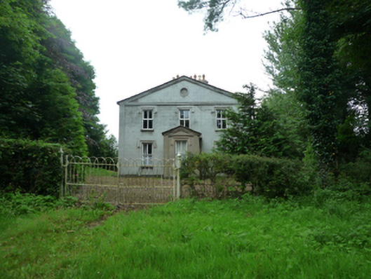 Thornfieldhouse · 42 yd
 Rappa CastleHouse, 16th/17th century · 1103 yd
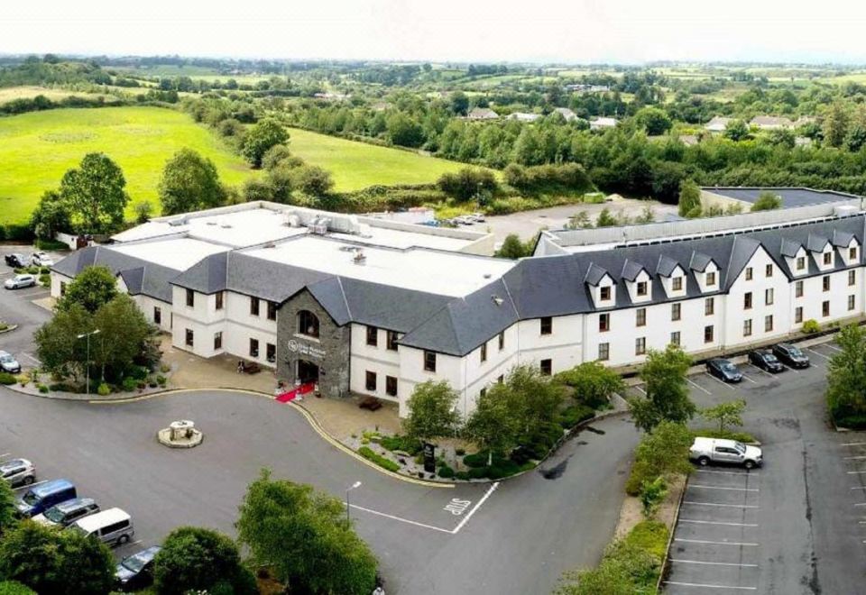 RathnabartHilltop enclosure · 1286 yd
 IndicatedFairy fort / earthen ringfort · 1600 yd
 Ballinteean CastleCastle · 2.4 mi
 Deel CastleCastle · 2.7 mi
 Battle of Ballinabattle · 4.0 mi
 Rinphilip PointHeadland · 4.2 mi
 Belleek WoodsWood · 4.2 mi
 Battle of Killalabattle · 4.4 mi
 Gortabradawn PointHeadland · 4.5 mi
 Moyne AbbeyHeritage attraction · 4.5 mi