What is recorded here
Indicated is a hillfort in County Cork, Ireland, enclosing a hilltop and ringfort within a circular area roughly 150m across. Its earthen bank survives partly as a low ridge, scatter of stones or break in slope, while reclamation and overgrowth have hidden other sections. The remains still mark a defended or ceremonial landscape, with radial field lines and possible outer banks suggesting a settled place rather than a empty mound.
In commanding position enclosing hilltop and ringfort (CO067-00102-). Circular area (diam. c. 150m) defined by earthen bank (int. H 0.5m; ext. H 1.8m) SSE->NNE; enclosure removed by pre-1842 reclamation to E. To W and NW, bank overgrown, defined by low earthen bank (max. int. H 0.4m) atop break in slope (max. ext. H 1m); in places only by break in slope, scatter of stones or, to W, piling up of large boulders. Clearly visible in aerial photograph (CASAP) as break in vegetation. Recent field fence continues line to S and N; may be slightly inside line of original bank; to N, field fence may overlie collapsed remains bank. Interior overgrown and rising towards hilltop. Rectangular depressions inside bank to N (1.2m x 0.8m; D 0.4m). Arc of possible second bank c. 50m outside S->N; defined by field fences. Four radial fields connect outer and inner banks; short length of fifth radial line visible to SE (CASAP), defined by change in vegetation; not located on ground. Three black patches visible in field to N between inner and outer enclosures (CASAP); visible on ground as patches of nettles.
The above description is derived from the published 'Archaeological Inventory of County Cork. Volume 2: East and South Cork' (Dublin: Stationery Office, 1994). In certain instances the entries have been revised and updated in the light of recent research.
Date of upload/revision: 14 January 2009
The monument record does not grant public access. Check the route and ask the landowner before entering private land.
- What survives
- Recorded monument
Places near here
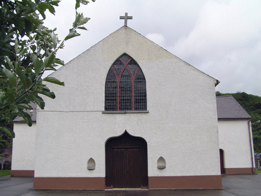 Inch Roman Catholic Churchchurch/chapel · 1091 yd
 IndicatedChurch · 1237 yd
 Fulacht fia in Cornaveigh (imokilly By., Ardagh Par.)Fulacht fia · 1.8 mi
 Enclosure in Carriganass (imokilly By.)Enclosure · 1.9 mi
 Kilnatoora CastleCastle, tower house · 2.3 mi
 CastleCastle, unclassified · 2.3 mi
 Glenbower WoodForest · 2.5 mi
 Fainin's WellSpring · 2.6 mi
 Historical Graveyard InformationVisitor information · 3.2 mi
 European ashEuropean ash · 3.4 mi
 Molana AbbeyHeritage attraction · 3.6 mi
 St Bridget's WellSpring · 4.4 mi