What is recorded here
This site, marked as a circular enclosure on the first edition of the OS map, is no longer extant. It was known locally as a 'fort' and was located just S of Ballynahow river, overlooking St Finan's Bay.
The above description is derived from A. O'Sullivan and J. Sheehan (compilers), 'The Iveragh peninsula: an archaeological survey of South Kerry'. Cork University Press (1996), no. 685. In certain instances the entries have been revised and updated in the light of recent research.
Date of upload: 29 July 2013
The monument record does not grant public access. Check the route and ask the landowner before entering private land.
- What survives
- Recorded monument
Places near here
 Man-made underground passage in Baile Na Habha (tc Fhionáin)Man-made underground passage · 327 yd
 Man-made underground passage in Clochán CeannúighMan-made underground passage · 348 yd
 Cuas Dhiarmuid Uí FháilbheBay · 1048 yd
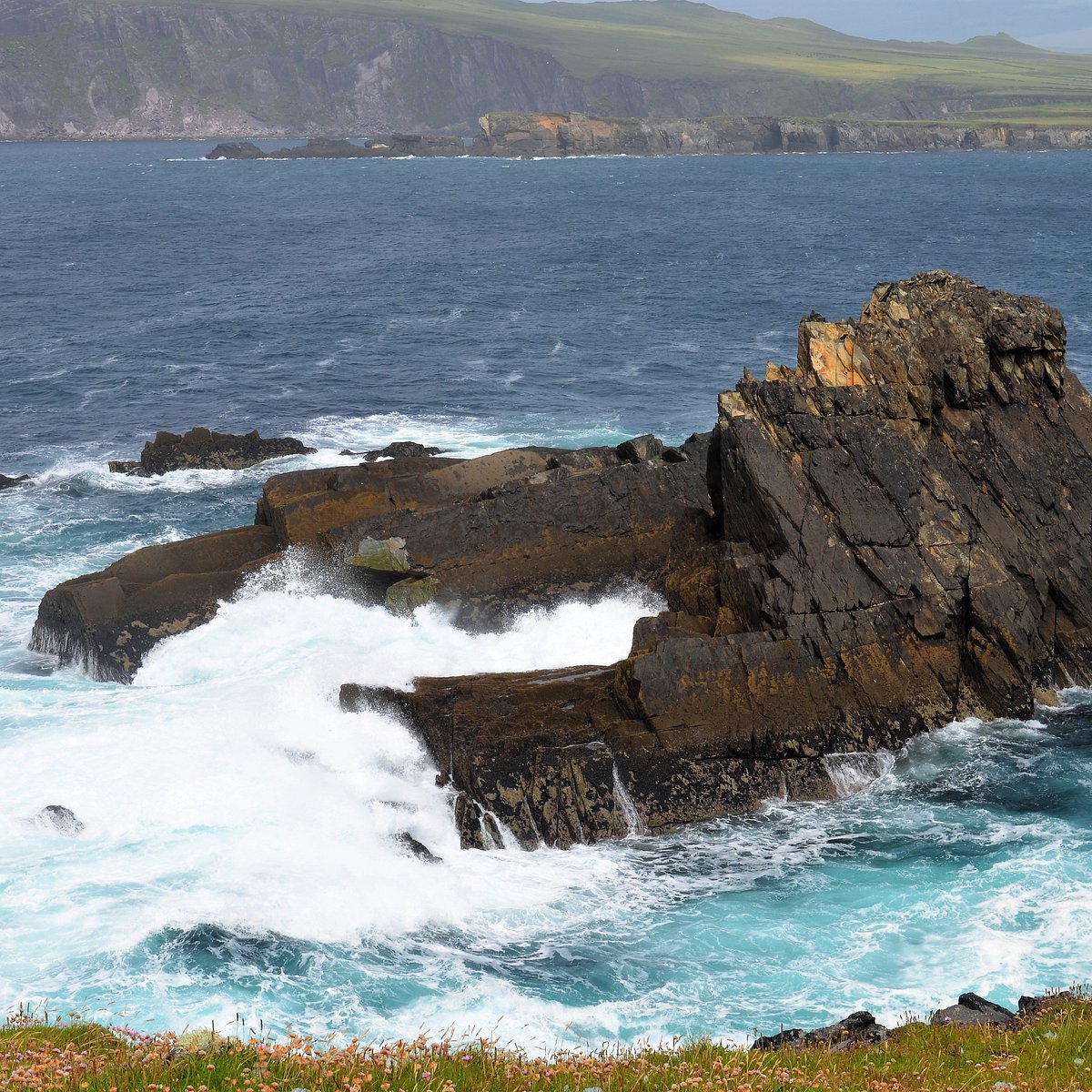 Cuas na CáigeBay · 1074 yd
 Cuas a' PhúcaCave · 1208 yd
 Tráigh na CilleBeach / strand · 1252 yd
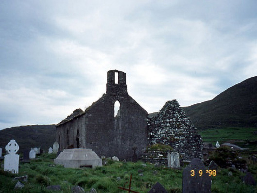 Séipéal na Cille [Killemlagh Catholic Chapel]church/chapel · 1317 yd
 Cúm an EaspaigMountain / peak · 1583 yd
 Teampall a' Chaisil/Temple CashelRuins · 1.0 mi
 Tobairin Holy WellSpring · 1.2 mi
 Tráigh LeagaighBeach / strand · 1.2 mi
 BallynablounMountain / peak · 1.3 mi