What is recorded here
At the N end of a low ridge in pasture. Depicted as a circular enclosure with the designation 'Fort' on the 1837 ed. of the OS 6-inch map. The monument has been levelled. However, the outline of the enclosing elements, apparently a bank with an external fosse, may be traced extending in an arc from NW-N-SE.
Compiled by: Patrick F. O'Donovan
Date of upload: 26 August 2011
The monument record does not grant public access. Check the route and ask the landowner before entering private land.
- What survives
- Recorded monument
Places near here
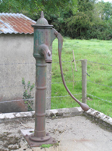 water pumpwater pump · 996 yd
 Man-made underground passage in RappareehillMan-made underground passage · 1026 yd
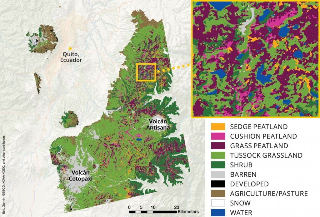 StructureStructure, peatland · 1489 yd
 Abbey (in Ruins)Church · 1.0 mi
 Commons North WalkVisitor information · 3.2 mi
 Wild birdsVisitor information · 3.3 mi
 White Sand WoodWood · 3.6 mi
 Ballyclare IslandIslet · 3.8 mi
 Graveyard in Curry (ardagh By., Coolamber Ed)Graveyard · 3.9 mi
 Rathcline CastleBawn · 4.0 mi
 First World War MemorialMemorial · 5.7 mi
 Goat's IslandIslet · 5.7 mi