What is recorded here
Situated on a slight S-facing slope in gently undulating pasture. Slightly raised circular area (diam. 24m) enclosed by a broad bank of earth and stone (Wth 4.5m; int. H 0.3m). There is no fosse visible at ground level. From NE-NW the bank is absent and the site is defined by a scarp (ext. H 0.6m). 'Rahelly House' is located 450m to the N and the rath appears to have been modified to form a tree ring. Drystone walling of random rubble limestone was added to the external face of the bank/scarp to form a vertical façade. This walling has largely collapsed where it defines the external face of the bank NW-NE and is better preserved where the bank is absent NE-NW. The original entrance is not recognisable. Mature ash trees grow along the perimeter and across the interior.
Compiled by: Patrick F. O'Donovan
Date of upload: 21 April 2011
The monument record does not grant public access. Check the route and ask the landowner before entering private land.
- What survives
- Recorded monument
Places near here
 IndicatedFairy fort / earthen ringfort · 400 yd
 Cat CornerWood · 508 yd
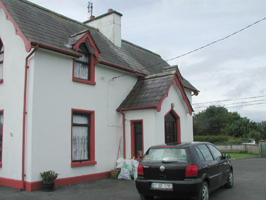 Rahelly Housegate lodge · 613 yd
 Enclosure in BallygilganEnclosure · 694 yd
 Shepherd's FlatWood · 954 yd
 Lissadell Housegate lodge · 1561 yd
 Finned PointHeadland · 1.5 mi
 Castle (Site of)Castle, unclassified · 1.7 mi
 Castle (in Ruins)Castle, unclassified · 2.0 mi
 Drumcliff BayBay · 2.4 mi
 Atlantic SheepdogsHeritage attraction · 2.5 mi
 Grave of WB YeatsHeritage attraction · 2.6 mi