
What is recorded here
Map note: Find the recorded point for Fairy fort or earthen ringfort in Raheenroe, a fairy fort or earthen ringfort around Raheenroe, County Mayo, Ireland. The past can keep its secrets; the map gives you a starting point.
From the National Monuments Service (Archaeological Survey of Ireland) record MA021-074
Places near here
Photo credits
- National Inventory of Architectural Heritage
- Mike Searle, Wikimedia Commons · CC BY-SA 2.0
- jeremy durrance, Geograph · Creative Commons Attribution-ShareAlike 2.0
- Edward S. Siebert, Wikimedia Commons · Public domain
- Andreas F. Borchert, Wikimedia Commons · CC BY-SA 4.0
- Gordon Hatton, Wikimedia Commons · CC BY-SA 2.0
- N Chadwick, Wikimedia Commons · CC BY-SA 2.0
- Steve Edge, Geograph · CC BY-SA 2.0
- N Chadwick, Geograph · CC BY-SA 2.0
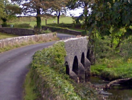 Ballintober BridgeBridge · 906 yd
 Ballymackeehola National SchoolSchool · 1.1 mi
 Rathroe CastleCastle · 1.2 mi
 IndicatedFairy fort / earthen ringfort · 3.1 mi
 Battle of KillalaBattle · 3.9 mi
 Cathedral in Townplots WestCathedral · 4.0 mi
 Killala Round TowerVisitor attraction · 4.0 mi
 Rathfran AbbeyVisitor attraction · 4.6 mi
 Templemurry GraveyardCemetery · 4.6 mi
 Rinnaun PointHeadland · 4.9 mi
 Deel CastleCastle · 5.3 mi
 Céide Fields Visitor CentreVisitor information · 11 mi
More archaeology and monuments in County Mayo · All of County Mayo

What do you know about this place?Tap to add a comment or ask a question