What is recorded here
Marked faintly as a circular feature (diam. c. 40m) on the 1839 ed. of the OS 6-inch map, and situated in a broad NW-SE valley with a stream c. 80m to the NE. This is badly eroded monument that is visible as a slightly dished, circular, grass-covered area (diam. 28-29m) defined by widely spread bank SW-N-E, a wide fosse (Wth 11-14m), and the remains of outer bank (Wth 10-13m; max. H 0.6m) WNW-N-E that is incorporated into a field bank WSW-WNW (max. ext. diam. 56m E-W). It has no identifiable entrance.
The above description is derived from the published 'Archaeological Inventory of County Wexford' (Dublin: Stationery Office, 1996). In certain instances the entries have been revised and updated in the light of recent research.
Compiled by: Michael Moore
Date of upload/revision: 16 August, 2012
The monument record does not grant public access. Check the route and ask the landowner before entering private land.
- What survives
- Recorded monument
Places near here
 IndicatedFairy fort / ringfort · 646 yd
 Ladys WellHoly well · 800 yd
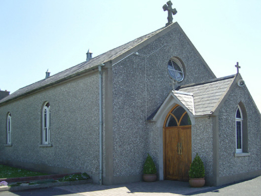 Catholic Church of Saint John Paul IIchurch/chapel · 1107 yd
 farm housefarm house · 1112 yd
 Old Ross MoteCastle, motte and bailey · 1.6 mi
 Site of CastleCastle, unclassified · 1.6 mi
 Carrickmastia HillMountain / peak · 2.2 mi
 Carrickbyrne HillMountain / peak · 2.2 mi
 Glenour MonumentMemorial · 3.2 mi
 Forest Of The DunbrodyForest · 3.7 mi
 1798 RebellionMemorial · 4.9 mi
 Silver WattleSilver Wattle · 6.3 mi