
What is recorded here
Marked on the 1839 and 1925 eds of the OS 6-inch map where it is described in gothic lettering
as Lady’s Well, although the earlier map shows numerous springs. It is situated in a slight fold on a gentle S-facing slope and at the bottom of an E-facing scarp. The well is a clay-cut hollow (diam. c. 2m) surrounded by some quartz stones and obscured by bushes. It is now dry and there is no evidence of veneration. Tobernacrohanebha Well (WX030-037----) is c. 30m to the NNE.
Compiled by: Michael Moore
Date of upload: 16 August, 2012
Linked to a local tradition of healing and fertility, Ladys Well is associated with a female saint or local "lady," common in Irish well cults where water was sought for blessings, especially in childbirth and for sick children. The well's long-standing veneration is reflected in its early map appearance and likely pre-Christian origins, later Christianized.
The monument record does not grant public access. Check the route and ask the landowner before entering private land.
- What survives
- Recorded monument
Places near here
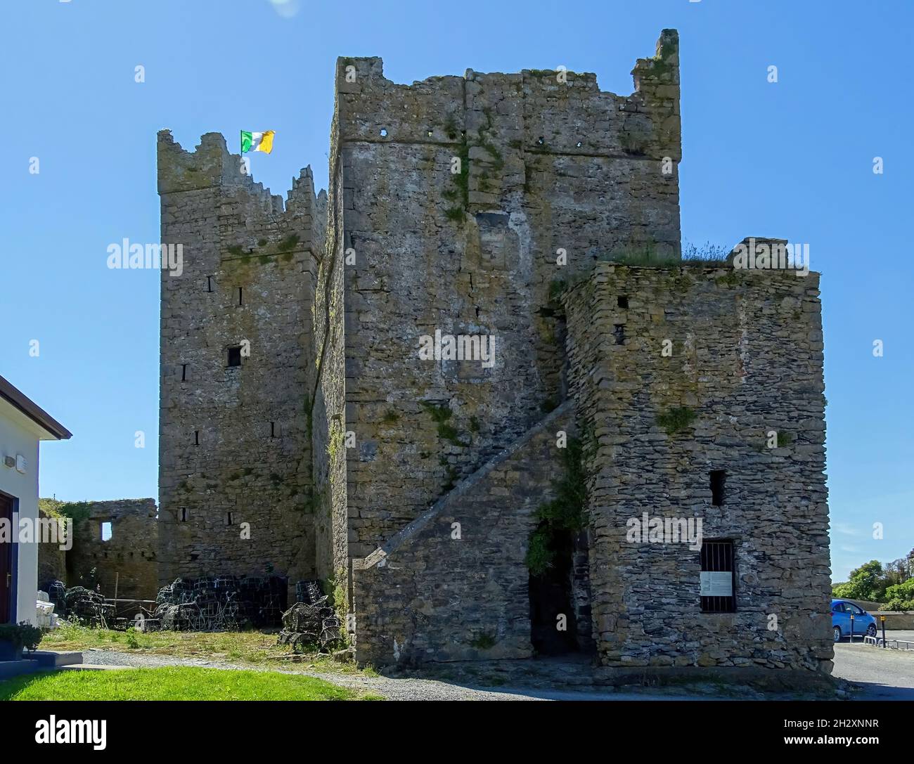 Embanked enclosureFairy fort / earthen ringfort · 722 yd
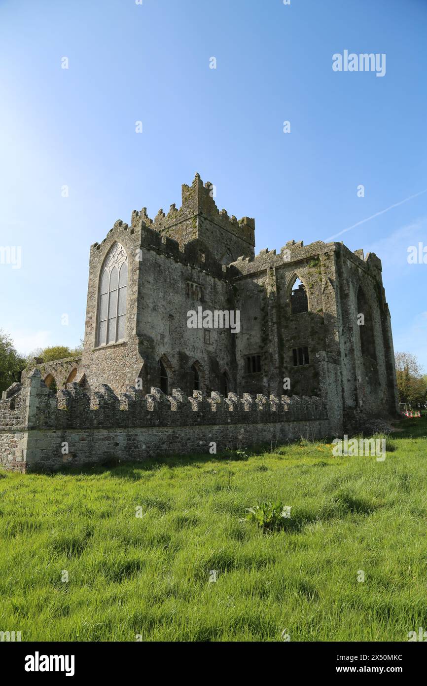 IndicatedFairy fort / ringfort · 905 yd
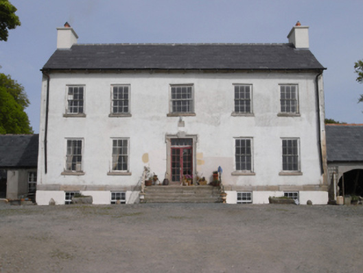 Robinstown Housefarm house · 1.1 mi
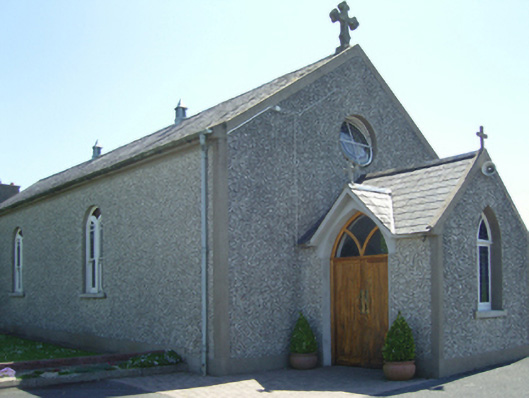 Catholic Church of Saint John Paul IIchurch/chapel · 1.1 mi
 Old Ross MoteCastle, motte and bailey · 1.6 mi
 Site of CastleCastle, unclassified · 1.6 mi
 Carrickmastia HillMountain / peak · 2.2 mi
 Carrickbyrne HillMountain / peak · 2.7 mi
 Glenour MonumentMemorial · 3.4 mi
 Forest Of The DunbrodyForest · 3.5 mi
 1798 RebellionMemorial · 4.4 mi
 Silver WattleSilver Wattle · 5.9 mi
Other information
Photo: Credit not shown in the picture search · Rights wording not checked; contact us if this picture should be removed