What is recorded here
On the N bank of the Shannon estuary adjacent to Quay Island. Described by O’Sullivan (2001, 306) as a post-medieval ‘stone-built causeways on both S and N banks of River Owenagarney, running down foreshore to channel. Linear structures of stone slabs, c. 100m in overall length and c. 2-3m wide. Depicted on OS 6” sheet 62 and Admiralty chart (1054) as ‘quay’ and ‘hard’ February 1997.' (O'Sullivan 2001, 306, Quay Island 4)
Compiled by: Mary Tunney
Date of upload: 21 August 2019
The monument record does not grant public access. Check the route and ask the landowner before entering private land.
- What survives
- Recorded monument
Places near here
 Illaunmore PointHeadland · 960 yd
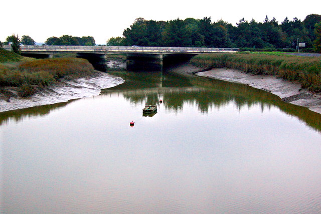 Bunratty Bridgebridge · 1398 yd
 Maiden RockNamed rock · 1424 yd
 Bunratty Castlehouse · 1434 yd
 Grass IslandIslet · 1483 yd
 IndicatedBawn · 1486 yd
 Grave Yd.Graveyard · 1494 yd
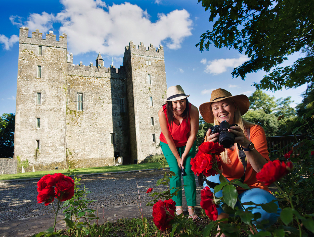 Town defences in Bunratty East,bunratty WestTown defences · 1598 yd
 Bunratty Castle and Folk ParkHeritage attraction · 1601 yd
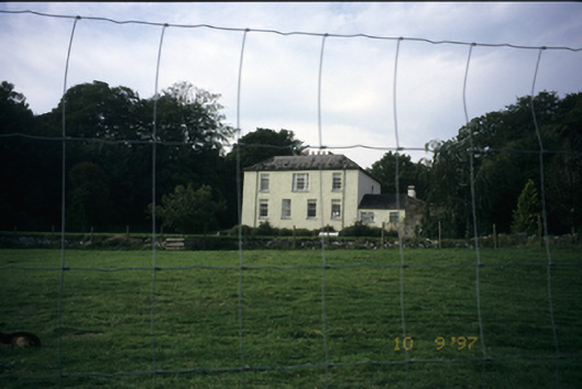 Bunratty Househouse · 1.2 mi
 Sweet ChestnutSweet Chestnut · 1.2 mi
 CastleCastle, motte and bailey · 2.0 mi