What is recorded here
In reclaimed farmland. Marked on the 1838 edition of the OS 6-inch map as a roughly rectangular hachured enclosure (c. 32m E-W; c. 21m N-S) and on the 1921 edition as a roughly subcircular enclosure defined by a wall and planted with trees. No visible surface trace survives.
Compiled by: Galway Archaeological Survey, UCG
Date of upload: 14 June 2019
The monument record does not grant public access. Check the route and ask the landowner before entering private land.
- What survives
- Recorded monument
Places near here
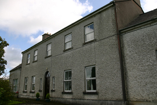 Prospect Housecountry house · 408 yd
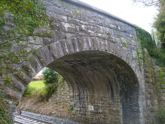 bridgebridge · 1205 yd
 Structure in BunnasrahStructure · 1479 yd
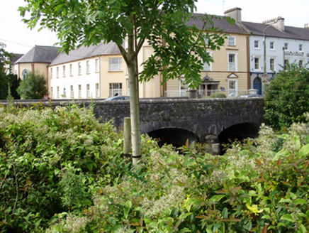 IndicatedFairy fort / stone ringfort · 1637 yd
 Castle IslandIsland · 1.2 mi
 Castle in ruinsCastle, tower house · 1.2 mi
 Keaghery IslandWood · 1.2 mi
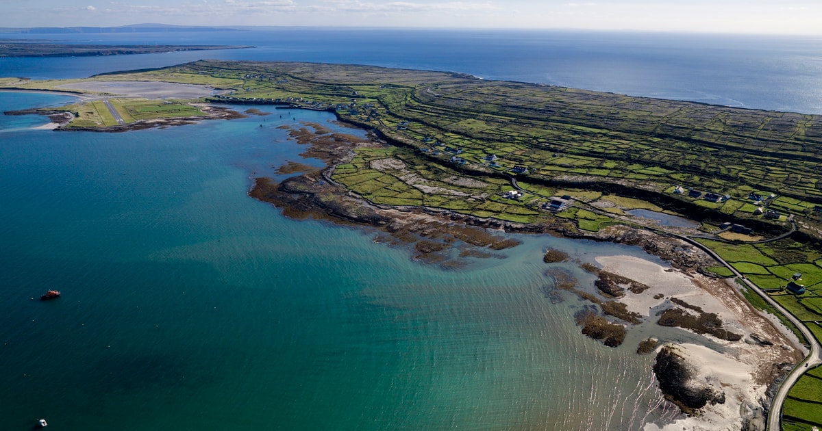 Beagh IslandWood · 1.4 mi
 Cavalry Bks on Site of Gort CastleCastle, unclassified · 1.5 mi
 Holly IslandIslet · 1.7 mi
 Kilmacduagh Monastic SiteVisitor information · 3.2 mi
 Kilmacduagh MonasteryHeritage attraction · 3.2 mi