What is recorded here
Marked as a circular enclosure (diam. c. 25m) with a bank surviving NE-SW only on the 1840 ed. of the OS 6-inch map. Situated in tillage, on level ground at the NE-facing foothills of the Comeragh Mountains, it is not visible at ground level.
The above description is derived from the published 'Archaeological Inventory of County Waterford' (Dublin: Stationery Office, 1999). In certain instances the entries have been revised and updated in the light of recent research.
Date of upload/revision: 18-09-2009
The monument record does not grant public access. Check the route and ask the landowner before entering private land.
- What survives
- Recorded monument
Places near here
 Site of Aughnakilla Burial GroundBurial ground · 263 yd
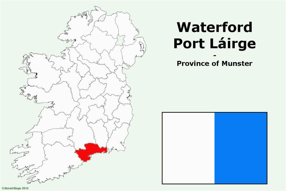 IndicatedFairy fort / earthen ringfort · 941 yd
 CarrigseegownaMountain / peak · 1033 yd
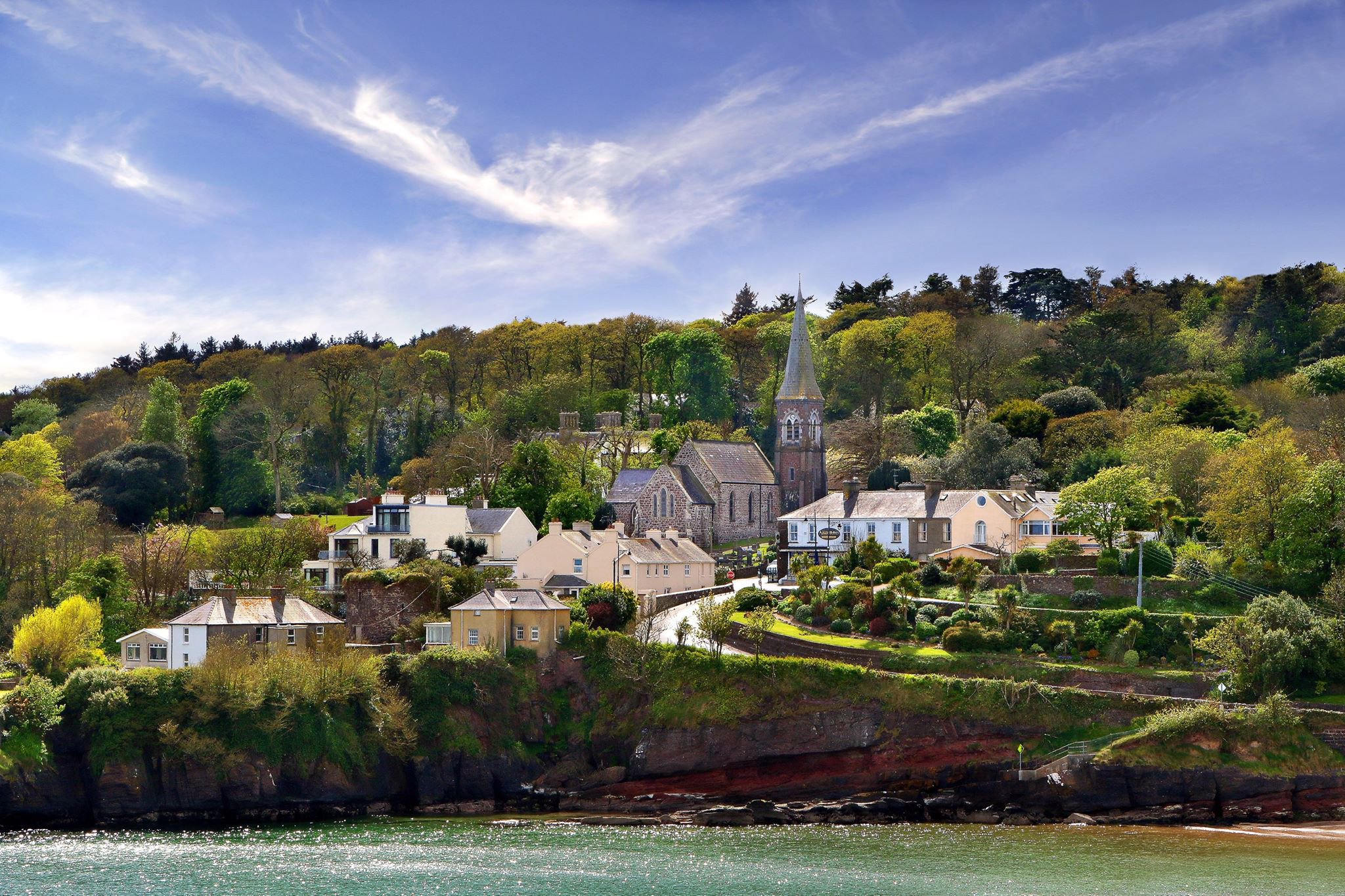 ShauneenabreagaMountain / peak · 1.2 mi
 Water millWater mill, horizontal-wheeled · 1.6 mi
 Glen Poer WoodForest · 1.8 mi
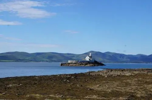 Curraheen TrailsVisitor information · 2.2 mi
 Ballyclohy Castle (in ruins)Castle, tower house · 2.7 mi
 Pedunculate OakPedunculate Oak · 2.7 mi
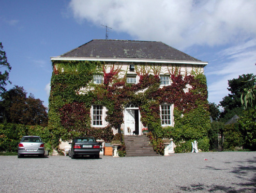 Landscape Househouse · 2.8 mi
 The Boolas LoopWalking route · 2.9 mi
 The Prison WaterfallWaterfall · 3.0 mi