What is recorded here
In rough pasture, on the S edge of a level break in a S-facing slope. The remains of a rectangular hut (8m N-S; 4m E-W) defined by a partly collapsed, clay-mortared stone wall (T 0.8m; H 1.4m). The wall is built of rough stones and the clay mortar has been washed out of the internal and external wall faces. The interior is heavily overgrown with ferns. There is an entrance (Wth 0.9m) in the centre of the E wall. Another hut site (KE084-059002-) is c. 45m to the E.
Compiled by: Elizabeth Byrne, Ursula Egan and Sheila Ronan, Archaeological Survey Unit, University College, Cork.
Date of upload: 31 January 2011
The monument record does not grant public access. Check the route and ask the landowner before entering private land.
- What survives
- Recorded monument
Places near here
 Shaking RockMountain / peak · 916 yd
 IndicatedBridge · 1084 yd
 Galway's Bridgebridge · 1272 yd
 Cromaglan MountainMountain / peak · 1346 yd
 ruined castleCastle · 1.2 mi
 Derrycunihy Nature ReserveNature reserve · 1.2 mi
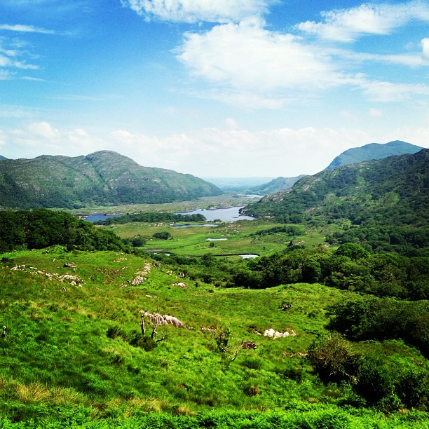 Ladies ViewViewpoint · 1.3 mi
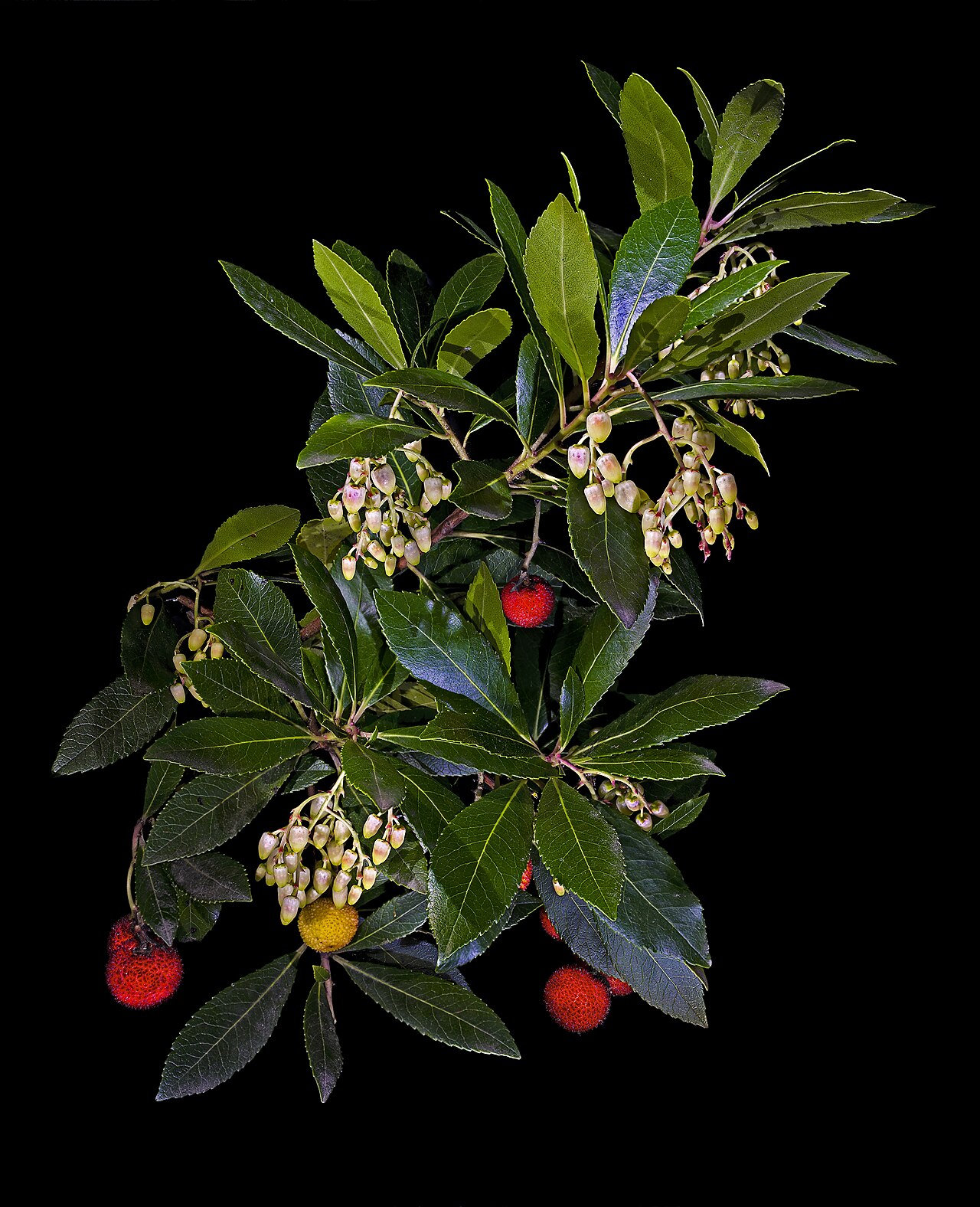 Strawberry treeStrawberry tree · 1.3 mi
 Newfoundland Bay TunnelHeritage attraction · 1.3 mi
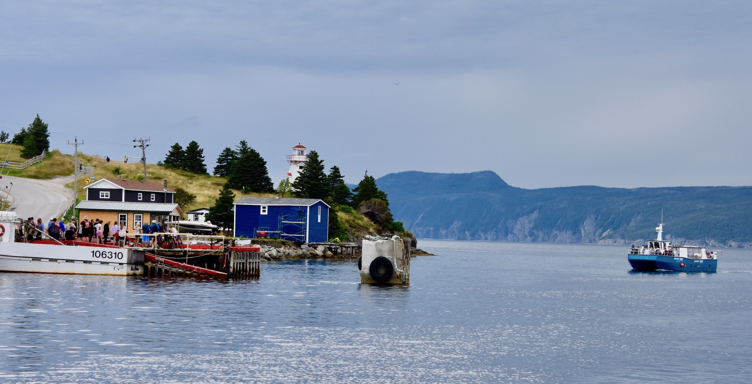 Newfoundland BayBay · 1.6 mi
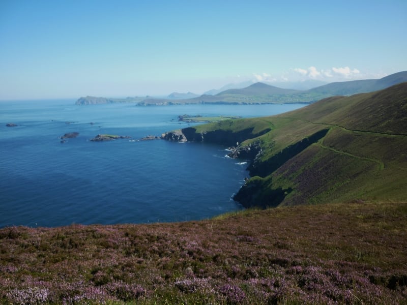 Arbutus IslandIsland · 1.7 mi
 Juniper IslandIslet · 1.9 mi