What is recorded here
In rough pasture, at the S edge of a level break on a S-facing slope. A subrectangular area (32m N-S; 21m E-W) defined by a partly collapsed drystone wall (T 0.8m; H 1.2m). Loose stones and small boulders are scattered in the overgrown interior. There are traces of cultivation ridges in the interior also. A hut site (KE084-059004-) internally abuts the E wall. There is an entrance gap (Wth 0.8m) in the W wall. A stream runs along the outside of the N wall. There is a hut site (KE084-059002-) c. 30m to the WSW.
Compiled by: Elizabeth Byrne, Ursula Egan and Sheila Ronan, Archaeological Survey Unit, University College, Cork.
Date of upload: 31 January 2011
The monument record does not grant public access. Check the route and ask the landowner before entering private land.
- What survives
- Recorded monument
Places near here
 Shaking RockMountain / peak · 921 yd
 IndicatedBridge · 1161 yd
 Cromaglan MountainMountain / peak · 1313 yd
 Galway's Bridgebridge · 1342 yd
 ruined castleCastle · 1.2 mi
 Derrycunihy Nature ReserveNature reserve · 1.3 mi
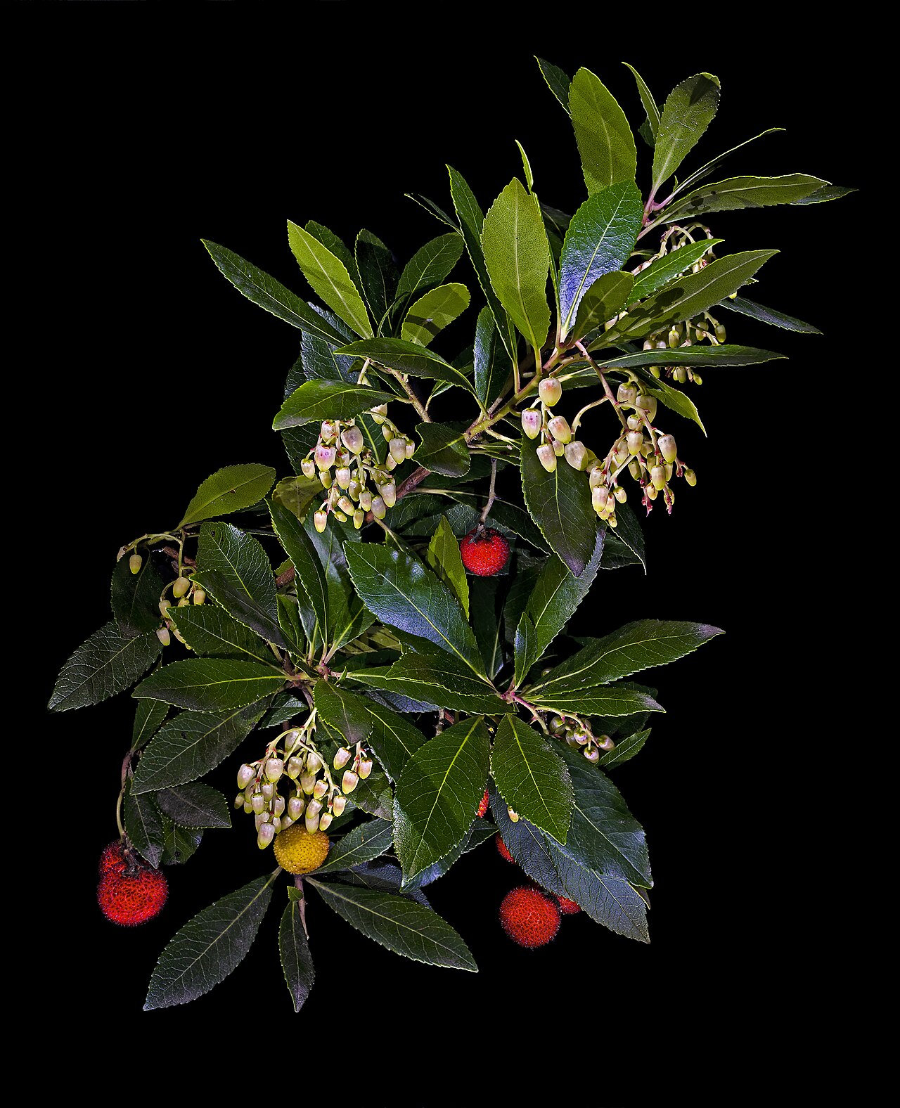 Strawberry treeStrawberry tree · 1.3 mi
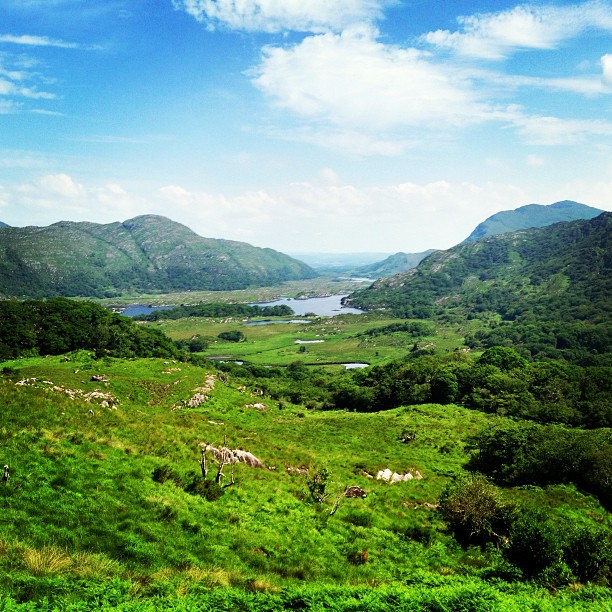 Ladies ViewViewpoint · 1.3 mi
 Newfoundland Bay TunnelHeritage attraction · 1.3 mi
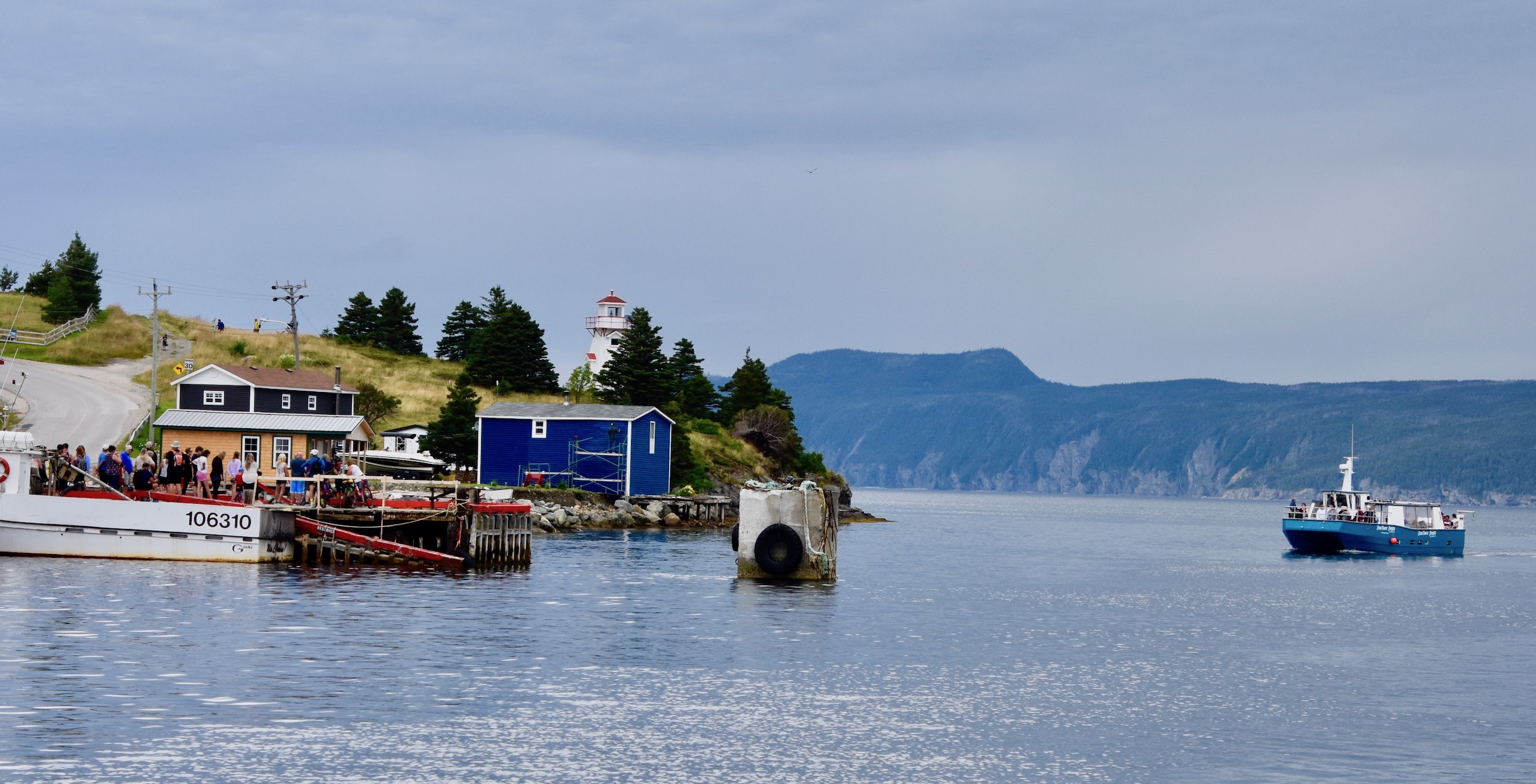 Newfoundland BayBay · 1.5 mi
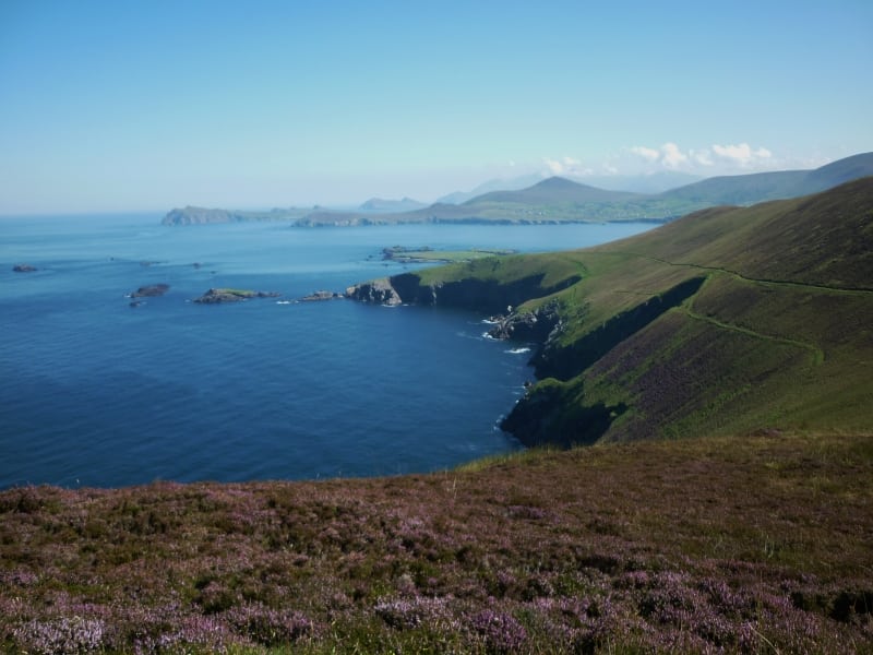 Arbutus IslandIsland · 1.7 mi
 Juniper IslandIslet · 1.9 mi