Places near here
Photo credits
- National Inventory of Architectural Heritage
- jeremy durrance, Geograph · Creative Commons Attribution-ShareAlike 2.0
- Ray Martin, Wikimedia Commons · Public domain
- Mike Searle, Wikimedia Commons · CC BY-SA 2.0
- Pamela Norrington, Geograph · CC BY-SA 2.0
- Neville Goodman, Geograph · Creative Commons Attribution-ShareAlike 2.0
- Colin Park, Geograph · CC BY-SA 2.0
- Phil Armitage, Wikimedia Commons · Public domain
- N Chadwick, Wikimedia Commons · CC BY-SA 2.0
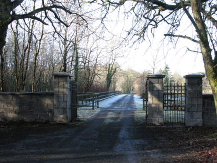 GlenmoreGates/railings/walls · 2.5 mi
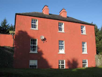 FortlandFarm house · 2.9 mi
Explorer Tom Fortland farmhouse was built for a Major, but I suspect the dog is actually in charge of everything now. The grounds are so tidy because the hound demands perfection or else there are consequences. Ideal place to rehearse an angry bark.
 IndicatedFairy fort / earthen ringfort · 3.6 mi
 CastleCastle, tower house · 5.9 mi
Explorer Tom Castle in Deelcastle hosted a dance that went so far nobody remembers who started it. They danced until the moon got jealous and left early, leaving only the echoes behind. A proper spot for a flask of tea and a big think, mate.
 Deel CastleCastle · 5.9 mi
 Titanic Memorial ParkMemorial · 6.2 mi
 Graveyard6.7 mi
 KnockaffertaghMountain / peak · 8.9 mi
 BirreencorraghMountain / peak · 9.3 mi
 Wild Nephin National ParkNature reserve · 9.8 mi
Explorer Tom Wild Nephin has room for a boast I cannot match: one of mainland Ireland's most remote points lies inside it. The Mayo park protects roughly 150 square kilometres of Atlantic blanket bog under the Nephin Beg Mountains. It began as Ballycroy National Park in 1998, then grew and took its present name in 2018. Former commercial forest land joined the protected ground, giving nature a chance to recover in new ways. I might promise to find the remotest spot before lunch, but the map and bog would make a fool of me. Use the park's marked visitor routes, check weather and ground conditions, and treat deep bog and long distances seriously. The visitor centre can help you choose a walk that suits the day. Look across the open country and let its quiet be a reward, not a dare.
 Rathfran AbbeyVisitor attraction · 11 mi
 Letterkeen LoopWalking route · 11 mi
More archaeology and monuments in County Mayo · All of County Mayo

What do you know about this place?Tap to add a comment or ask a question