What is recorded here
In pasture, located on elevated ground, overlooking a small river, which is located 30m to the W. There is a narrow strip (Wth 4m) of level ground immediately to W of the rath, beyond which ground falls steeply to the river bank. An E-W road (N 5) lies immediately to S.
This rath is shown on the 1838 OS 6-inch map as a roughly circular enclosure (diam. c. 25-30m), with a possible arc of fosse and external bank at NE; on the 1920 edition it is shown as a D-shaped hachured enclosure, with the straight side at S−SW.
The rath was severely damaged by quarrying in the early 20th century,: the only portions of the rath that remain intact are a semi-circular arc of bank at NW−SE, with a 2m wide strip of interior just inside the bank at NW−N.
There is a deep, grassed-over depression (c. 15-20m across), with a heap of stones in the base, immediately to NW of the rath, probably another quarry. There is a rath (MA063-035----) c. 120m to SE, and another rath (MA063-034----) 200m to E.
Compiled by: Jane O’Shaughnessy
Date of upload: 10 September 2020
The monument record does not grant public access. Check the route and ask the landowner before entering private land.
- What survives
- Recorded monument
Places near here
 farm housefarm house · 39 yd
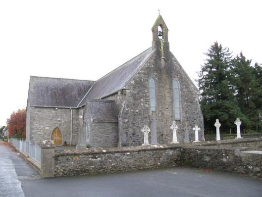 Saint James's Catholic Churchchurch/chapel · 147 yd
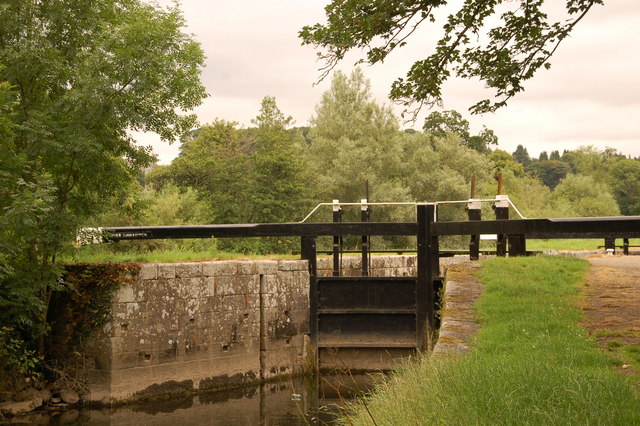 Embanked enclosureFairy fort / stone ringfort · 1085 yd
 Man-made underground passage in Calveagh LowerMan-made underground passage · 1356 yd
 Old Cave Burial GroundArchaeological place · 2.6 mi
 Bockagh HillMountain / peak · 3.7 mi
 Casatle (ruins)Castle, unclassified · 5.3 mi
 Crunaun Castle (in ruins)Castle, unclassified · 6.0 mi
 East Mayo Brigade MonumentMemorial · 9.0 mi
 Crow IslandIslet · 10 mi
 Castle PointHeadland · 10 mi
 Rose PointHeadland · 11 mi
Other information
Photo: Credit not shown in the picture search · Rights wording not checked; contact us if this picture should be removed