What is recorded here
Depicted as a small island (diam. c. 5m) close to the N shore of the now drained Ballyoughter Lough (diam. c. 150m) on the 1927 ed. of the OS 6-inch map. It is not visible in an overgrown area.
Compiled by: Michael Moore
Date of upload: 24 August 2010
The monument record does not grant public access. Check the route and ask the landowner before entering private land.
- What survives
- Recorded monument
Places near here
 Embanked enclosureFairy fort / earthen ringfort · 524 yd
 Enclosure in Killeen EastEnclosure · 700 yd
 IndicatedChurch · 1510 yd
 War of Independence Commemorative Military MemorialMemorial · 1.2 mi
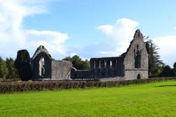 AbbeyChurch · 1.2 mi
 CastleCastle, unclassified · 4.0 mi
 Cruachan Aí Heritage CentreMuseum · 4.0 mi
 Caslans WoodForest · 4.6 mi
 European ashEuropean ash · 4.7 mi
 ToberagullaSpring · 4.7 mi
 Strokestown House GardensHeritage attraction · 5.5 mi
 CastlerubyCastle, unclassified · 6.2 mi