What is recorded here
One of two limekilns shown on 1839 'OS 6-inch' map (see also CW008-046001-).
Compiled by: Claire Breen
Date of upload: 19 August 2011
The monument record does not grant public access. Check the route and ask the landowner before entering private land.
- What survives
- Recorded monument
Places near here
 Cross (present location) in Mountwolseley OR CrosslowCross (present location) · 692 yd
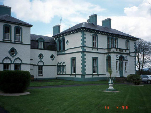 Mount Wolseleycountry house · 704 yd
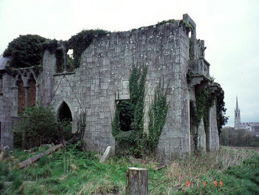 Saint Austin's Abbeycountry house · 768 yd
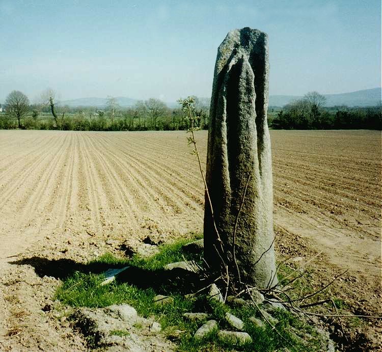 Enclosure in ArdristanEnclosure · 971 yd
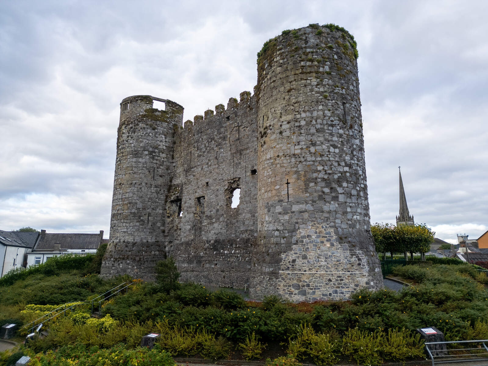 CastleCastle, motte · 1448 yd
 European ashEuropean ash · 2.1 mi
 Coppenagh CastleCastle, tower house · 2.6 mi
 Rath WoodForest · 2.9 mi
 Kilmurry Church (in ruins), GraveyardChurch · 3.7 mi
 Altamont House and GardensHeritage attraction · 4.0 mi
 Altamont Gardens MapVisitor information · 4.0 mi
 Acaun Church (in ruins), GraveyardChurch · 5.0 mi