What is recorded here
In level pasture. Rectangular area (32m N-S; 31m E-W) enclosed by earthen bank (int. H 0.45m; ext. H 0.95m) with external fosse (Wth 2.7m; D 0.7m). Enclosing element on S side part of surrounding field boundary system and breached at centre by recent gateway (Wth c. 4m). Enclosing element covered by thorn bushes and dense undergrowth which is encroaching on interior which is otherwise covered by rough grazing.
Compiled by: Denis Power
Date of upload: 26 August 2011
The monument record does not grant public access. Check the route and ask the landowner before entering private land.
- What survives
- Recorded monument
Places near here
 Enclosure in GardenfieldEnclosure · 970 yd
 Moated site in ArranaghMoated site · 1234 yd
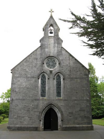 Saint Mary's Catholic Churchchurch/chapel · 1396 yd
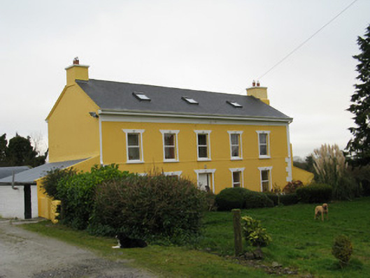 Camas Househouse · 1462 yd
 Dotted outlineBawn · 2.3 mi
 Saint Ite's WellSpring · 2.3 mi
 Templars Castle (in ruins)Castle, Anglo-Norman masonry castle · 2.4 mi
 Ballagh MountainMountain / peak · 3.5 mi
 Limerick GreenwayWalking route · 4.1 mi
 Sugar HillMountain / peak · 4.4 mi
 TobereenalaffinaSpring · 4.5 mi
 European ashEuropean ash · 6.8 mi