What is recorded here
Depicted as a quarry or pond feature on the 1838 ed. OS 6-inch map with field boundaries radiating out from hollow depression at E and W. Hollow depression now filled in shows up on as the cropmark of a filled in pit on Digital Globe aerial photograph taken 28/06/2018. Does not appear to be the remains of an archaeological monument of pre-1700 date. The cropmark of a similar feature can be seen on Google Earth 180m to NE.
See attached image taken from Google Earth
Compiled by: Gearóid Conroy
Revised by: Caimin O'Brien based on details kindly provided by Pat Reid
Date of revised upload: 05 December 2018
The monument record does not grant public access. Check the route and ask the landowner before entering private land.
- What survives
- Recorded monument
Places near here
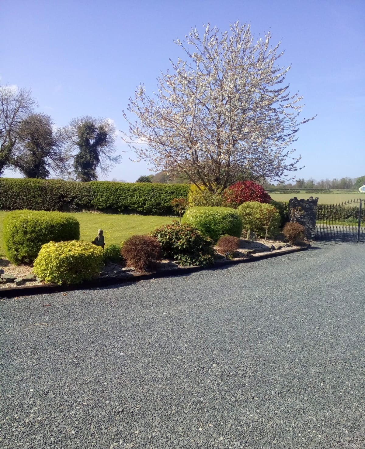 Enclosure in Oldgrange (monasterevin Ed)Enclosure · 200 yd
 IndicatedFairy fort / earthen ringfort · 389 yd
 CastleCastle, unclassified · 843 yd
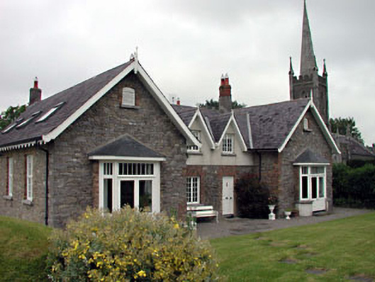 Old School Houseschool · 1295 yd
 Church of Saint John the Evangelist Fontstown)church/chapel · 1299 yd
 Battle of Kilrushbattle · 1.2 mi
 Narraghmore WoodWood · 1.8 mi
 Ardscull MoatCastle, motte · 2.2 mi
 Gorden Bennet Race memorialMemorial · 2.3 mi
 History of Moat of ArdscullVisitor information · 2.3 mi
 European BeechEuropean Beech · 2.3 mi
 1798 memorialMemorial · 5.9 mi