What is recorded here
Indicated is a large circular enclosure in County Cavan, Ireland, measuring about 52m across and still known locally as a fort. Its low earthen bank has been levelled from the northeast through the east to the southeast, hiding the entrance and smoothing the shape that once stood out on the land. The circle may have marked a home, a meeting place or a boundary for a lost community, but no name, date or event has survived to confirm which.
Depicted as a subcircular enclosure on all OS eds. Large approximately circular area (int. diam. c. 52m) enclosed by a low earthen bank which has been levelled from NE-E-SE. Original entrance not recognisable. Known locally as a 'fort'.
The above description is derived from the published 'Archaeological Inventory of County Cavan' (Dublin: Stationery Office, 1995). In certain instances the entries have been revised and updated in the light of recent research.
Date of upload/revision: 22 December 2008
The monument record does not grant public access. Check the route and ask the landowner before entering private land.
- What survives
- Recorded monument
Places near here
 Not indicated.Fairy fort / stone ringfort · 308 yd
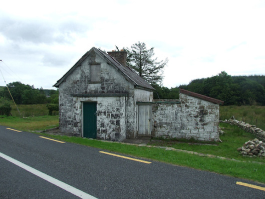 worker's houseworker's house · 808 yd
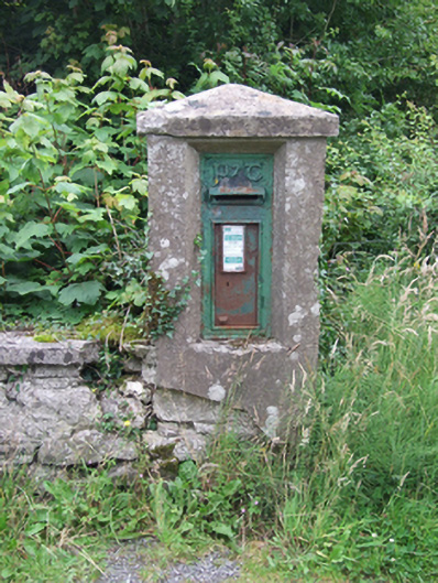 post boxpost box · 985 yd
 Sweat HoSweathouse · 1034 yd
 BarranMountain / peak · 1336 yd
 Giant's GraveArchaeological place · 1.2 mi
 CorrevanMountain / peak · 1.6 mi
 Cavan BurrenHeritage attraction · 1.8 mi
 Dolines/SinkholesCave · 1.8 mi
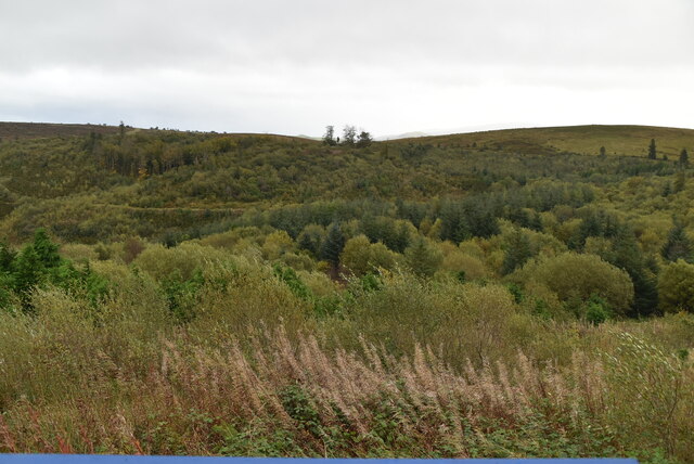 Cavan Burren ParkForest · 1.9 mi
 Boulder GraveyardArchaeological place · 1.9 mi
 Legnaveagh SinkholeCave · 1.9 mi