
What is recorded here
Not marked on OS 1836 or 1876 eds. Largely destroyed. Only the foundations are identifiable today. Described by Richardson (1939, 35) as a small subcircular drystone-built structure (int. dims. c. 1.9m x c. 1.5m). The corbelled roof was closed by a single slab and at a height of c 0.8m and set within the walls there were a series of aperatures which were presumably flues for the smoke. The doorway was c. 0.5m high and c. 0.7m wide. A circular well (diam. 3m), enclosed by a low drystone wall, lies 12m to SW. Site is densely overgrown with vegetation.
The above description is derived from the published 'Archaeological Inventory of County Cavan' (Dublin: Stationery Office, 1995). In certain instances the entries have been revised and updated in the light of recent research.
Date of upload/revision: 22 December 2008
The monument record does not grant public access. Check the route and ask the landowner before entering private land.
- What survives
- Recorded monument
Places near here
 IndicatedFairy fort / stone ringfort · 221 yd
 Saint Patrick's Catholic Churchchurch/chapel · 810 yd
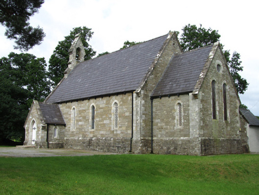 Killinagh Churchchurch/chapel · 1044 yd
 Not indicated.Fairy fort / stone ringfort · 1056 yd
 Giant's GraveArchaeological place · 1.3 mi
 BarranMountain / peak · 1.3 mi
 BurrenMountain / peak · 1.5 mi
 Cavan BurrenHeritage attraction · 1.5 mi
 Kilrooscagh IslandIslet · 1.5 mi
 Dolines/SinkholesCave · 1.6 mi
 Legnaveagh SinkholeCave · 1.6 mi
 Boulder GraveyardArchaeological place · 1.6 mi
Other information
Photo: Credit not shown in the picture search · Rights wording not checked; contact us if this picture should be removed