What is recorded here
Indicated is a nine-metre mound hidden beneath conifers in County Dublin, first identified during the 2003 Newtown and Glencullen survey. It sits beside a long granite-walled laneway and a gateway marked by two vertical pillars, suggesting an older tomb or cairn rather than a random heap of stones. The mound may have watched people move through that valley for centuries before trees closed around it.
Mound recorded by James Kyle in 2003 while carrying out an archaeological survey of the lands at Newtown and Glencullen. Mound described by James Kyle as follows; 'The structure/Mass House fronted onto the adjacent laneway, which was itself of some interest. The feature, which was 6.6m in width and originally in excess of 300m in length, would have taken considerable effort to construct with walling comprising granite boulders, to a maximum surviving height of 1.2m. From the Mass House the laneway ran southeast up the hillside and where some erosion of the surface had occurred, the remains of a cobble surface was observed. Approximately 100m up the laneway there was a gateway in the eastern wall, defined by two vertical granite pillars and this feature formerly facilitated access from the laneway to the adjacent lands to the east, which are currently under forestry. Five metres northeast of that gateway a mound, approximately 9m in diameter, was observed under the coniferous plantation and visible from the laneway. As the lands which that possible archaeological feature was on do not belong to the Maguire family, the feature was not examined in depth, but its location, size and aspect are comparable to the tomb at Ballyedmonduff, suggesting that this mound might be a previously unidentified tomb/cairn' (Kyle 2023, 41).
Compiled by: Caimin O'Brien based on details provided by James Kyle
The monument record does not grant public access. Check the route and ask the landowner before entering private land.
- What survives
- Recorded monument
Places near here
 IndicatedMass-house · 187 yd
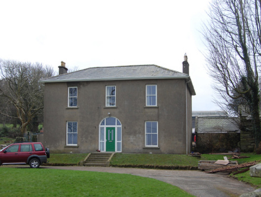 Newtown Housefarm house · 314 yd
 BarrowArchaeological place · 431 yd
 Cultivation ridges in Newtown (rathdown By.), GlencullenCultivation ridges · 499 yd
 Ballybetagh WoodForest · 1701 yd
 Ballyedmonduff ForestForest · 1.0 mi
 Three Rock MountainMountain / peak · 1.4 mi
 Two Rock MountainMountain / peak · 1.4 mi
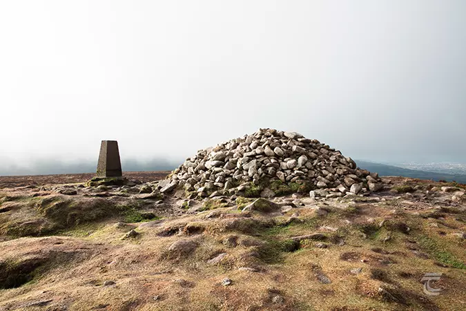 Ticknock - Fairy Castle LoopWalking route · 1.7 mi
 Ballycorus castle Site ofCastle, tower house · 1.8 mi
 Barnaslingan - Scalp Lookout TrailWalking route · 1.8 mi
 Bawn in Carrickmines GreatBawn · 2.2 mi